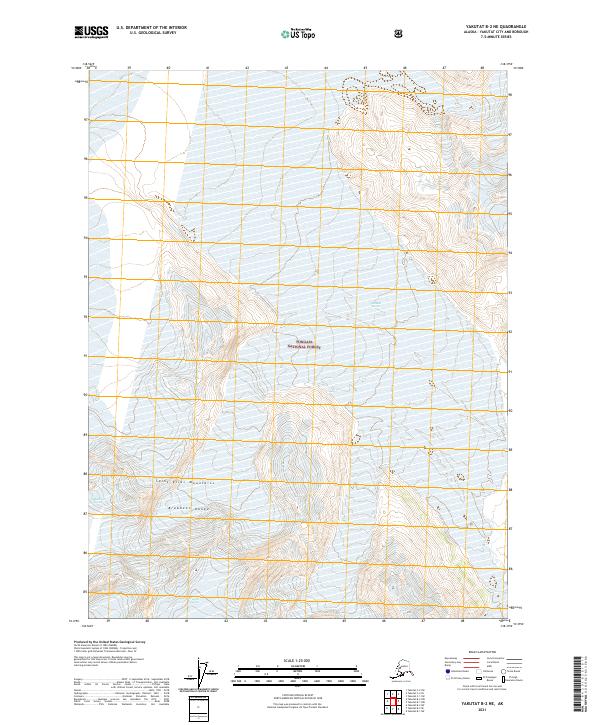
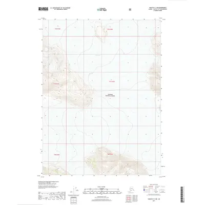
2021 Map of Yakutat B-2 NE
USGS Topo · Published 2021About this map
Saint Elias Mountains rise dramatically across this coastal Alaskan landscape, where the Brabazon Range dictates the movement of massive ice fields. The map documents a glaciated environment within the Tongass National Forest, characterized by the presence of three distinct ice bodies. The Novatna Glacier flows through the northern reaches, while the Fassett Glacier and Chamberlin Glacier dominate the southern portion of the quadrangle. This 2021 survey illustrates the complex relationship between high-altitude topography and the persistent glaciers that define this region of the Yakutat City and Borough. The sparse human presence is reflected in the lack of named settlements, focusing instead on the physical geographic boundaries and the towering natural features of the Alaskan wilderness.
Find a feature on this map
10 named features on this map. Tap any name to fly to it.
Don’t see what you’re looking for? This feature index may not catch every label — zoom into the map to look around manually.
Map Details
Editions of this 2021 Yakutat B-2 NE Map
This is the sole edition of this map. No revisions or reprints were ever made.
Other maps of this area

1951 · Yakutat
USGS Topo · 1:250,000

1959 · Yakutat B-2
USGS Topo · 1:63,360

1959 · Yakutat B-1
USGS Topo · 1:63,360

1959 · Yakutat
USGS Topo · 1:250,000
1985 · Yakutat C-1
USGS Topo · 1:63,360

1985 · Yakutat C-2
USGS Topo · 1:63,360

1997 · Yakutat B-1
USGS Topo · 1:63,360
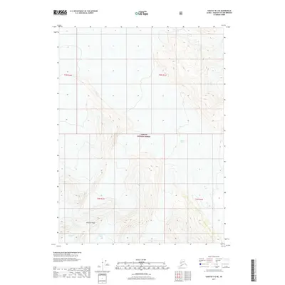
2017 · Yakutat B-2 NE
USGS Topo · 1:25,000
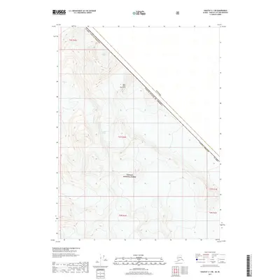
2017 · Yakutat C-1 SW
USGS Topo · 1:25,000
2017 · Yakutat C-2 SW
USGS Topo · 1:25,000