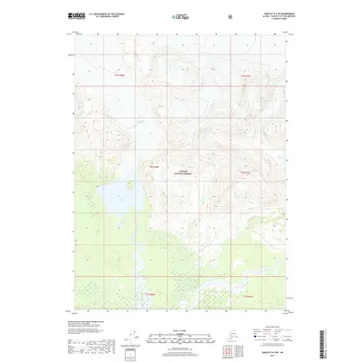
2017 Map of Yakutat B-2 SW
USGS Topo · Published 2017About this map
Tongass National Forest dominates this coastal Alaskan landscape, where the heavy glaciation of the northern territory meets a complex network of glacial meltwater. The ice of Chamberlain Glacier feeds directly into the hydrologic system, shaping the course of the Ustay River as it flows south from Ustay Lake. To the east, Tanis Lake and the Tanis River mark the transition between the high-elevation ice fields and the saturated wetlands of the coastal plain. This 2017 survey reveals the intricate braided nature of these water systems, documenting the shifting boundaries between ice, water, and protected forest land in the Yakutat City and Borough region.
Find a feature on this map
14 named features on this map. Tap any name to fly to it.
Don’t see what you’re looking for? This feature index may not catch every label — zoom into the map to look around manually.
Map Details
Editions of this 2017 Yakutat B-2 SW Map
This is the sole edition of this map. No revisions or reprints were ever made.
Other maps of this area

1951 · Yakutat
USGS Topo · 1:250,000

1959 · Yakutat A-2
USGS Topo · 1:63,360
1959 · Yakutat A-3
USGS Topo · 1:63,360

1959 · Yakutat B-3
USGS Topo · 1:63,360

1959 · Yakutat B-2
USGS Topo · 1:63,360

1959 · Yakutat
USGS Topo · 1:250,000
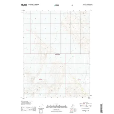
2017 · Yakutat B-2 NE
USGS Topo · 1:25,000
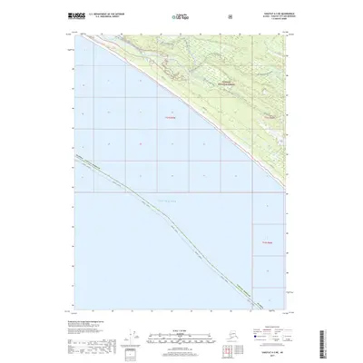
2017 · Yakutat A-3 NE
USGS Topo · 1:25,000
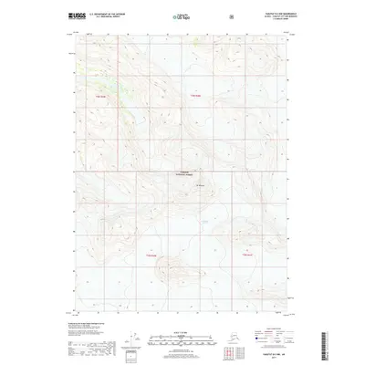
2017 · Yakutat B-2 NW
USGS Topo · 1:25,000
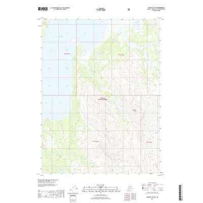
2017 · Yakutat B-3 NE
USGS Topo · 1:25,000