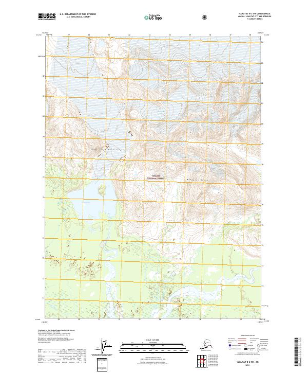
2021 Map of Yakutat B-2 SW
USGS Topo · Published 2021About this map
Tongass National Forest dominates this coastal Alaskan landscape, where the glacial runoff from the Saint Elias Mountains meets the Pacific lowlands. The survey shows a complex hydrological system defined by the massive Chamberlain Glacier in the north, which feeds into the Ustay Lake basin. This remote wilderness is further shaped by the Brabazon Range, with the Ustay River and Tanis River carving through the lowland wetlands. The absence of roads or permanent settlements highlights the map's focus on the natural topography and the shifting boundaries of the ice and water within the Yakutat City and Borough region. Researchers can trace the drainage patterns where mountain meltwater transitions into the expansive river deltas characteristic of this stretch of the Alaskan coastline.
Find a feature on this map
13 named features on this map. Tap any name to fly to it.
Don’t see what you’re looking for? This feature index may not catch every label — zoom into the map to look around manually.
Map Details
Editions of this 2021 Yakutat B-2 SW Map
This is the sole edition of this map. No revisions or reprints were ever made.
Other maps of this area

1951 · Yakutat
USGS Topo · 1:250,000

1959 · Yakutat A-2
USGS Topo · 1:63,360
1959 · Yakutat A-3
USGS Topo · 1:63,360

1959 · Yakutat B-3
USGS Topo · 1:63,360

1959 · Yakutat B-2
USGS Topo · 1:63,360

1959 · Yakutat
USGS Topo · 1:250,000
2017 · Yakutat B-2 NE
USGS Topo · 1:25,000
2017 · Yakutat A-3 NE
USGS Topo · 1:25,000
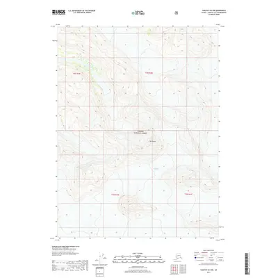
2017 · Yakutat B-2 NW
USGS Topo · 1:25,000
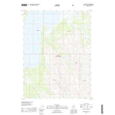
2017 · Yakutat B-3 NE
USGS Topo · 1:25,000