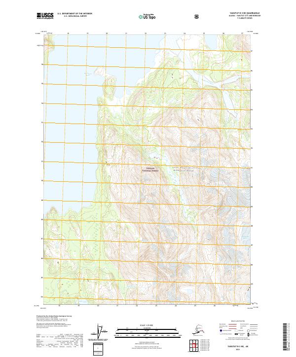
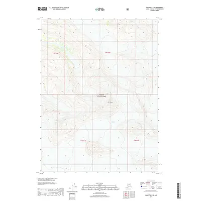
2021 Map of Yakutat B-3 NE
USGS Topo · Published 2021About this map
Saint Elias Mountains rise sharply across this coastal Alaskan landscape, where the Brabazon Range dictates the flow of glacial runoff and river systems within the Tongass National Forest. The northern reach of the map is dominated by the expansive Harlequin Lake, which feeds into the aptly named Dangerous River as it moves toward the coast. To the south, the hydrologic network is defined by the Italio River and Italio Lake, illustrating the complex drainage patterns of this wilderness. This 2021 survey provides a clear look at the glacial and fluvial geomorphology of the region, showing how ice and water continuously reshape the terrain between the high peaks and the unseen shoreline.
Find a feature on this map
11 named features on this map. Tap any name to fly to it.
Don’t see what you’re looking for? This feature index may not catch every label — zoom into the map to look around manually.
Map Details
Editions of this 2021 Yakutat B-3 NE Map
This is the sole edition of this map. No revisions or reprints were ever made.
Other maps of this area

1951 · Yakutat
USGS Topo · 1:250,000

1959 · Yakutat C-3
USGS Topo · 1:63,360

1959 · Yakutat B-3
USGS Topo · 1:63,360

1959 · Yakutat B-2
USGS Topo · 1:63,360

1959 · Yakutat
USGS Topo · 1:250,000

1985 · Yakutat C-2
USGS Topo · 1:63,360
2017 · Yakutat C-3 SW
USGS Topo · 1:25,000
2017 · Yakutat C-3 SE
USGS Topo · 1:25,000
2017 · Yakutat C-2 SW
USGS Topo · 1:25,000
2017 · Yakutat B-2 NW
USGS Topo · 1:25,000