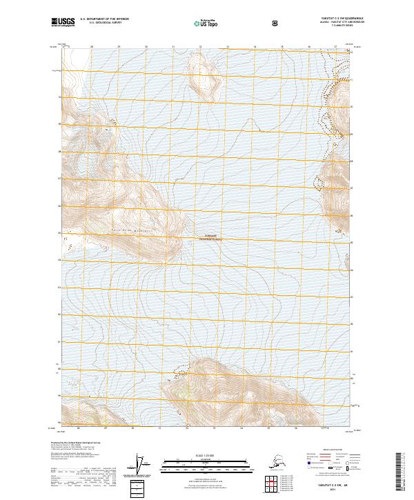
2021 Map of Yakutat C-2 SW
USGS Topo · Published 2021About this map
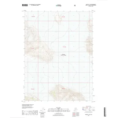
Saint Elias Mountains terrain dominates this 2021 topographic survey of a high-altitude wilderness area in southeastern Alaska. The landscape is defined by extreme vertical relief, where the steep ridgelines of the Brabazon Range rise sharply in the southern portion of the quadrangle. Most of the land falls within the protected boundaries of the Tongass National Forest, preserving a primitive environment devoid of roads or permanent human settlements. The contour lines reveal a complex network of glacial valleys and peaks, typical of the coastal ranges that separate the Gulf of Alaska from the interior. This map is a critical record of contemporary glacial topography and federal forest management boundaries in one of the most remote sections of the Yakutat City and Borough.
Find a feature on this map
9 named features on this map. Tap any name to fly to it.
Don’t see what you’re looking for? This feature index may not catch every label — zoom into the map to look around manually.
Map Details
Editions of this 2021 Yakutat C-2 SW Map
This is the sole edition of this map. No revisions or reprints were ever made.
Other maps of this area

1951 · Yakutat
USGS Topo · 1:250,000

1959 · Yakutat C-3
USGS Topo · 1:63,360

1959 · Yakutat B-3
USGS Topo · 1:63,360

1959 · Yakutat B-2
USGS Topo · 1:63,360

1959 · Yakutat
USGS Topo · 1:250,000

1985 · Yakutat C-2
USGS Topo · 1:63,360
2017 · Yakutat B-2 NE
USGS Topo · 1:25,000
2017 · Yakutat C-2 NE
USGS Topo · 1:25,000
2017 · Yakutat C-3 SE
USGS Topo · 1:25,000
2017 · Yakutat C-2 SW
USGS Topo · 1:25,000