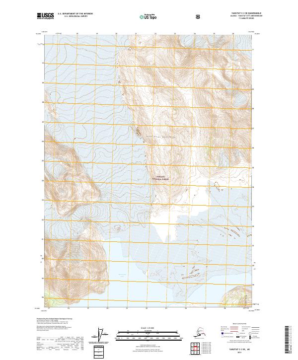
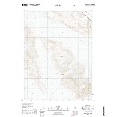
2021 Map of Yakutat C-3 SE
USGS Topo · Published 2021About this map
Saint Elias Mountains define this high-altitude landscape in the northern reaches of the Tongass National Forest. The map centers on a region of intense glaciation and dynamic hydrology, where the southern face of these peaks gives way to the icy waters of Harlequin Lake. To the southeast, the Brabazon Range marks a significant topographic boundary, illustrating the complex vertical relief that characterizes the Yakutat City and Borough. The grid system including t27s r39e and t28s r38e provides a framework for tracking land use and wilderness boundaries in a territory where natural features remain the primary landmarks.
Find a feature on this map
10 named features on this map. Tap any name to fly to it.
Don’t see what you’re looking for? This feature index may not catch every label — zoom into the map to look around manually.
Map Details
Editions of this 2021 Yakutat C-3 SE Map
This is the sole edition of this map. No revisions or reprints were ever made.
Other maps of this area

1951 · Yakutat
USGS Topo · 1:250,000

1959 · Yakutat C-3
USGS Topo · 1:63,360

1959 · Yakutat B-3
USGS Topo · 1:63,360

1959 · Yakutat B-2
USGS Topo · 1:63,360

1959 · Yakutat
USGS Topo · 1:250,000

1985 · Yakutat C-2
USGS Topo · 1:63,360
2017 · Yakutat C-3 SW
USGS Topo · 1:25,000
2017 · Yakutat C-3 SE
USGS Topo · 1:25,000
2017 · Yakutat C-2 SW
USGS Topo · 1:25,000
2017 · Yakutat C-2 NW
USGS Topo · 1:25,000