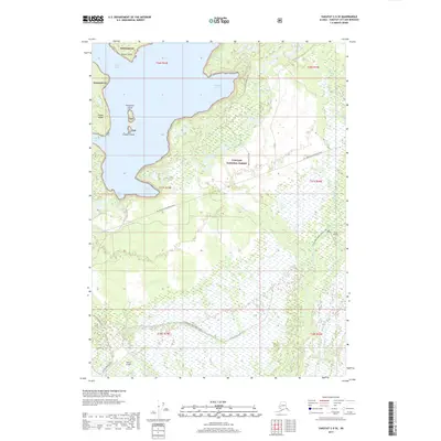
2017 Map of Yakutat C-5 SE
USGS Topo · Published 2017About this map
Yakutat Bay and the coastal edges of the Tongass National Forest dominate this landscape on the Gulf of Alaska. The map details a complex interface of water and land, from the sheltered waters of Redfield Cove and Sawmill Cove to the scattered landforms of Kriwoi Island, Doggie Island, and Fitzgerald Island.
Find a feature on this map
32 named features on this map. Tap any name to fly to it.
Don’t see what you’re looking for? This feature index may not catch every label — zoom into the map to look around manually.
Map Details
Editions of this 2017 Yakutat C-5 SE Map
This is the sole edition of this map. No revisions or reprints were ever made.
Other maps of this area

1951 · Yakutat
USGS Topo · 1:250,000

1959 · Yakutat B-5
USGS Topo · 1:63,360

1959 · Yakutat C-5
USGS Topo · 1:63,360

1959 · Yakutat C-4
USGS Topo · 1:63,360

1959 · Yakutat B-4
USGS Topo · 1:63,360

1959 · Yakutat
USGS Topo · 1:250,000

1987 · Yakutat C-4 SW
USGS Topo · 1:25,000
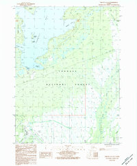
1987 · Yakutat C-5 SE
USGS Topo · 1:25,000
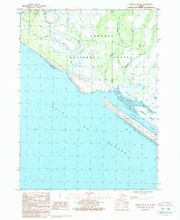
1987 · Yakutat B-5 NE
USGS Topo · 1:25,000
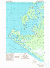
1987 · Yakutat C-5 SW
USGS Topo · 1:25,000