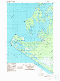
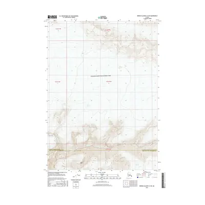
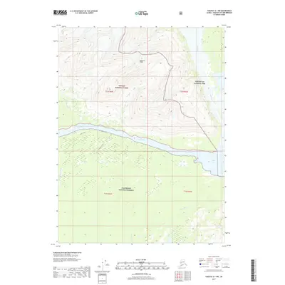
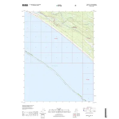
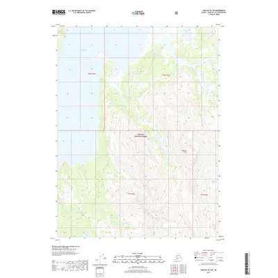
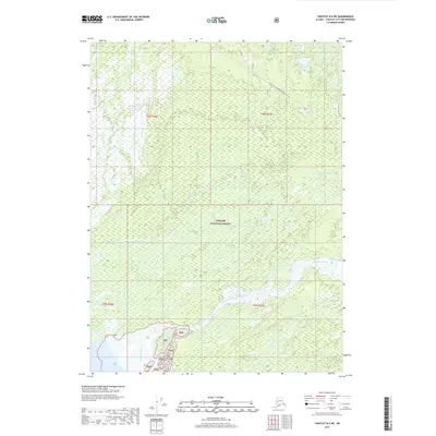
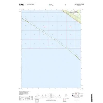
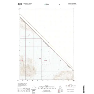
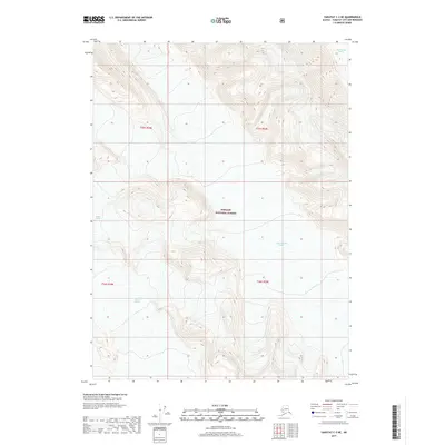
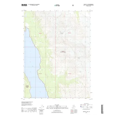
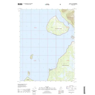
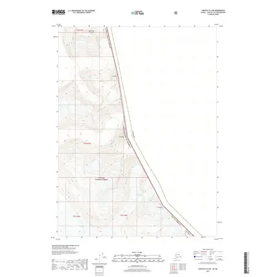
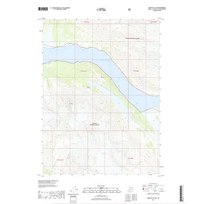
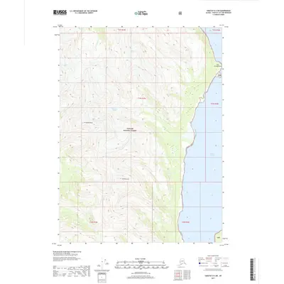
1987 Map of Yakutat C-5 SW
USGS Topo · Published 1988About this map
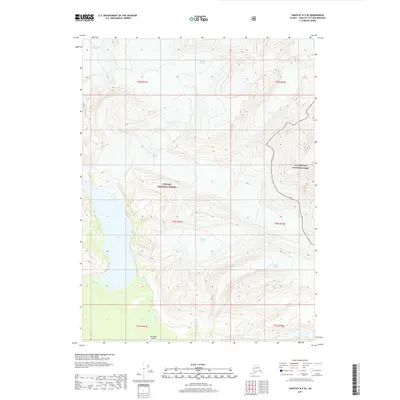
Khantaak Island and the intricate coastline of Yakutat Bay define this 1980s coastal survey. The settlement of Yakutat sits at the entrance to Monti Bay, showing a concentrated hub of infrastructure including multiple Radio Towers, a Cem, and the Yakutat Airport. The landscape is a complex network of tidal passages and shoals, with Port Mulgrave and Rurik Harbor providing sheltered waters behind the island's protective reach.
Find a feature on this map
40 named features on this map. Tap any name to fly to it.
Don’t see what you’re looking for? This feature index may not catch every label — zoom into the map to look around manually.
Map Details
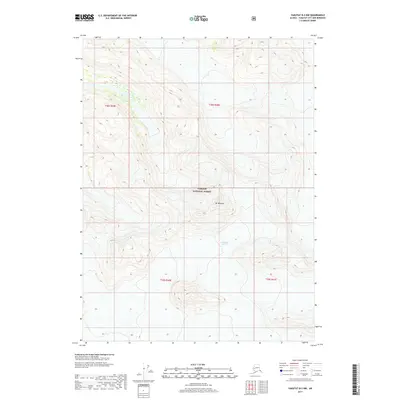
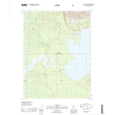
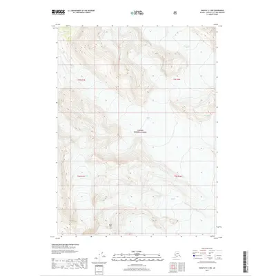
Editions of this 1987 Yakutat C-5 SW Map
2 editions found
Historical Maps of Yakutat Through Time
343 maps found

1948 Bering Glacier A-4
Yakutat Borough, AK

1948 Icy Bay D-2 and D-3
Yakutat Borough, AK

1950 Bering Glacier A-3
Yakutat Borough, AK

1950 Bering Glacier
Yakutat Borough, AK

1950 Icy Bay
Yakutat Borough, AK

1951 Bering Glacier A-2
Yakutat Borough, AK

1951 Bering Glacier A-4
Yakutat Borough, AK

1951 Bering Glacier
Yakutat Borough, AK

1951 Icy Bay D-2 and D-3
Yakutat Borough, AK

1951 Icy Bay
Yakutat Borough, AK

1951 Mt Saint Elias
Yakutat Borough, AK

1959 Bering Glacier A-2
Yakutat Borough, AK

1959 Bering Glacier A-3
Yakutat Borough, AK

1959 Bering Glacier A-4
Yakutat Borough, AK

1959 Bering Glacier
Yakutat Borough, AK

1959 Icy Bay D-2 and D-3
Yakutat Borough, AK

1959 Mt Saint Elias
Yakutat Borough, AK

1959 Yakutat A-1
Yakutat Borough, AK

1959 Yakutat A-2
Yakutat Borough, AK

1959 Yakutat A-3
Yakutat Borough, AK

1959 Yakutat B-1
Yakutat Borough, AK

1959 Yakutat B-2
Yakutat Borough, AK

1959 Yakutat B-3
Yakutat Borough, AK

1959 Yakutat B-4
Yakutat Borough, AK

1959 Yakutat B-5
Yakutat Borough, AK

1959 Yakutat C-3
Yakutat Borough, AK

1959 Yakutat C-4
Yakutat Borough, AK

1959 Yakutat C-5
Yakutat Borough, AK

1959 Yakutat D-3
Yakutat Borough, AK

1959 Yakutat D-4
Yakutat Borough, AK

1959 Yakutat D-5
Yakutat Borough, AK

1961 Icy Bay
Yakutat Borough, AK

1961 Mount Fairweather D-6
Yakutat Borough, AK

1961 Mount Fairweather D-7
Yakutat Borough, AK

1961 Skagway A-7
Yakutat Borough, AK

1961 Skagway A-8
Yakutat Borough, AK

1961 Skagway B-8
Yakutat Borough, AK

1984 Bering Glacier A-4
Yakutat Borough, AK

1984 Bering Glacier A-5
Yakutat Borough, AK

1984 Bering Glacier A-6
Yakutat Borough, AK

1984 Bering Glacier A-7
Yakutat Borough, AK

1984 Bering Glacier A-8
Yakutat Borough, AK

1985 Bering Glacier A-1
Yakutat Borough, AK

1985 Bering Glacier B-1
Yakutat Borough, AK

1985 Bering Glacier B-2
Yakutat Borough, AK

1985 Bering Glacier B-3
Yakutat Borough, AK

1985 Bering Glacier B-4
Yakutat Borough, AK

1985 Bering Glacier B-5
Yakutat Borough, AK

1985 Bering Glacier B-6
Yakutat Borough, AK

1985 Bering Glacier B-7
Yakutat Borough, AK

1985 Bering Glacier C-3
Yakutat Borough, AK

1985 Bering Glacier C-4
Yakutat Borough, AK

1985 Bering Glacier C-5
Yakutat Borough, AK

1985 Bering Glacier C-6
Yakutat Borough, AK

1985 Icy Bay D-1
Yakutat Borough, AK

1985 Mount Saint Elias A-3
Yakutat Borough, AK

1985 Mount Saint Elias A-4
Yakutat Borough, AK

1985 Mount Saint Elias A-5
Yakutat Borough, AK

1985 Mount Saint Elias A-6
Yakutat Borough, AK

1985 Mount Saint Elias A-7
Yakutat Borough, AK

1985 Mount Saint Elias A-8
Yakutat Borough, AK

1985 Mount Saint Elias B-3
Yakutat Borough, AK

1985 Mount Saint Elias B-4
Yakutat Borough, AK

1985 Mount Saint Elias B-5
Yakutat Borough, AK

1985 Mount Saint Elias B-7
Yakutat Borough, AK

1985 Mount Saint Elias B-8
Yakutat Borough, AK

1985 Yakutat C-1
Yakutat Borough, AK

1985 Yakutat C-2
Yakutat Borough, AK

1985 Yakutat C-6
Yakutat Borough, AK

1985 Yakutat C-7
Yakutat Borough, AK

1985 Yakutat C-8
Yakutat Borough, AK

1985 Yakutat D-2
Yakutat Borough, AK

1985 Yakutat D-6
Yakutat Borough, AK

1985 Yakutat D-7
Yakutat Borough, AK

1985 Yakutat D-8
Yakutat Borough, AK

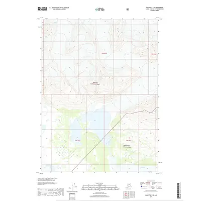
1987 Yakutat B-4 NW
Yakutat Borough, AK

1987 Yakutat B-5 NE
Yakutat Borough, AK

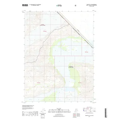
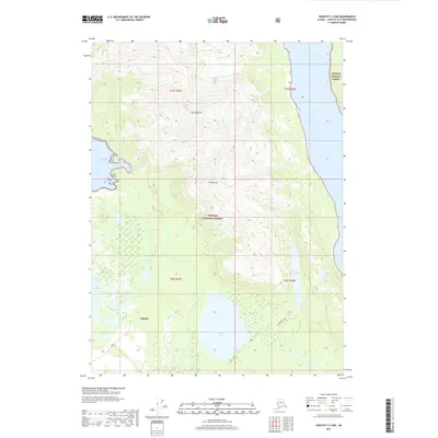
1987 Yakutat C-4 SE
Yakutat Borough, AK

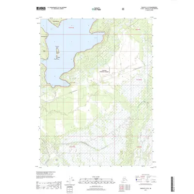
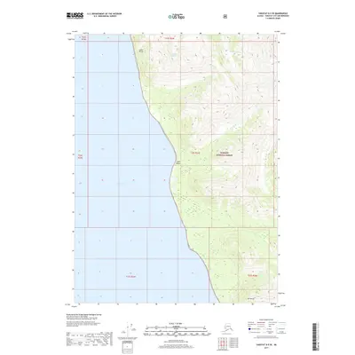
1987 Yakutat C-4 SW
Yakutat Borough, AK

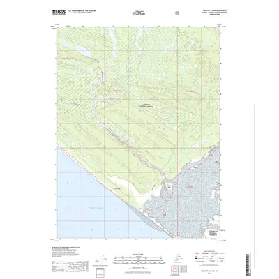
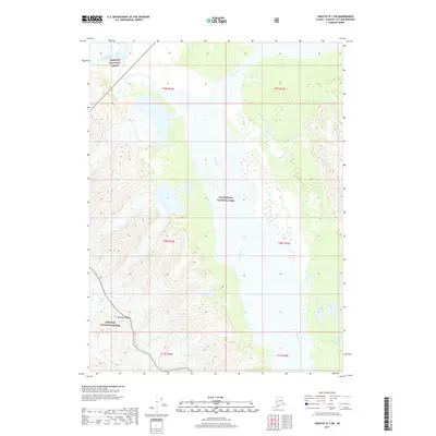
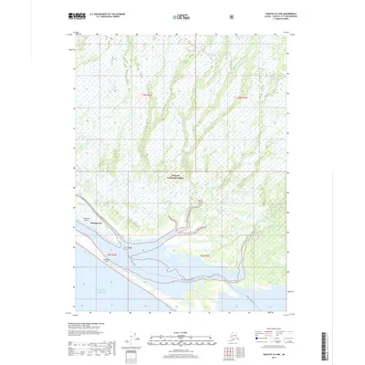
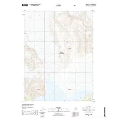
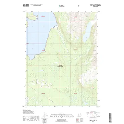
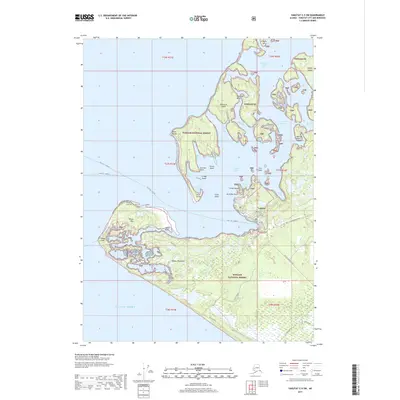
1987 Yakutat C-5 SE
Yakutat Borough, AK

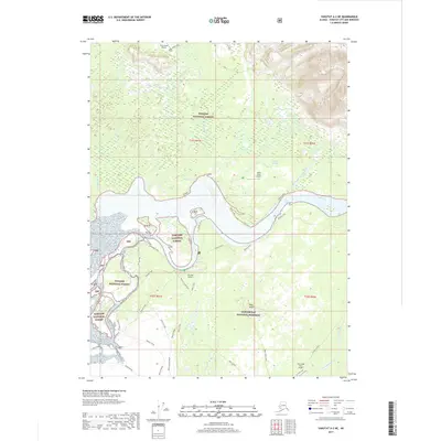
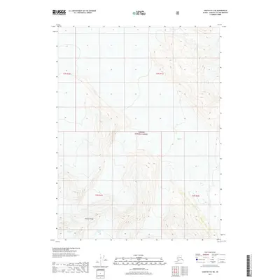
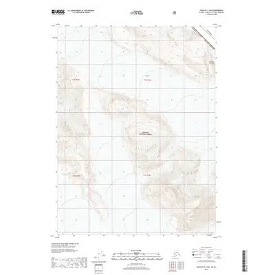
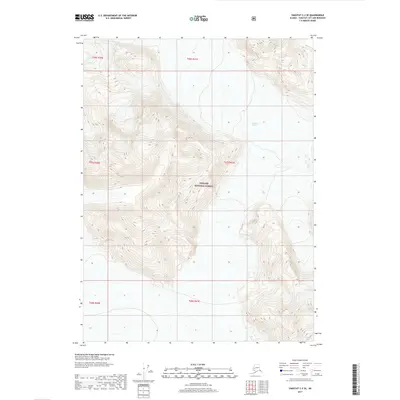
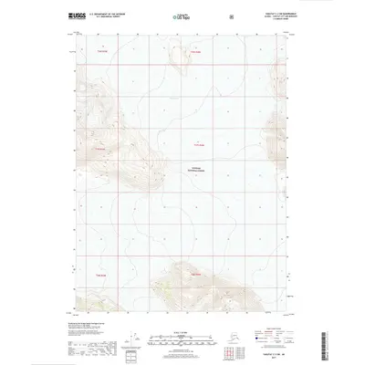
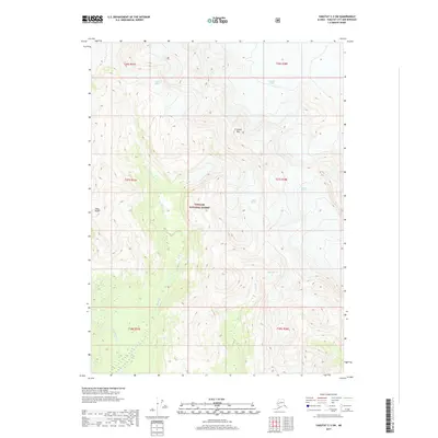
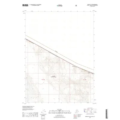
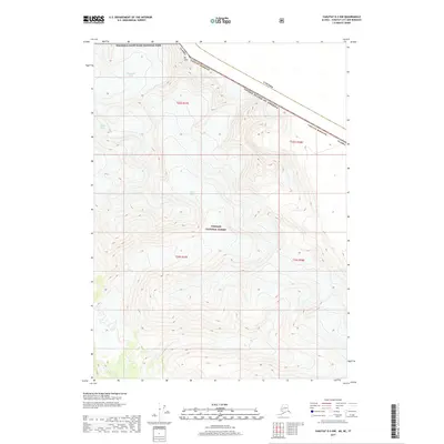
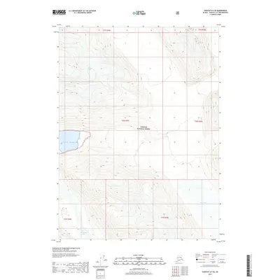
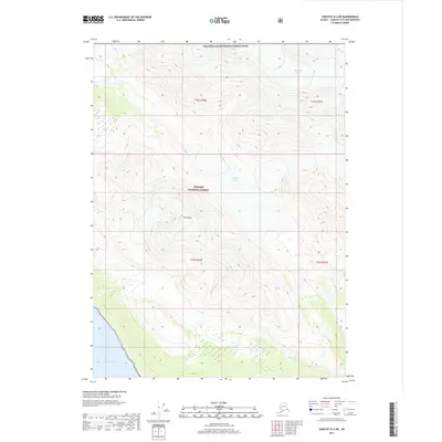
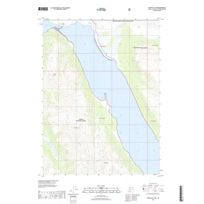
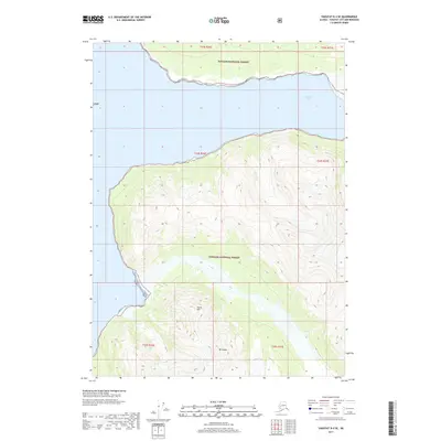
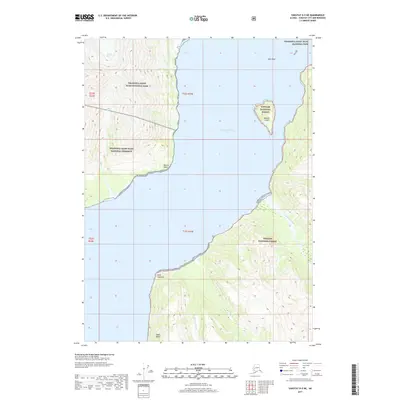
1987 Yakutat C-5 SW
Yakutat Borough, AK

1996 Yakutat C-5
Yakutat Borough, AK

1997 Yakutat B-1
Yakutat Borough, AK

1997 Yakutat C-4
Yakutat Borough, AK

2014 Bering Glacier A-8 NE
Yakutat Borough, AK

2014 Bering Glacier A-8 OE S NW
Yakutat Borough, AK

2014 Bering Glacier A-8 SE
Yakutat Borough, AK

2014 Bering Glacier A-8 SW
Yakutat Borough, AK

2014 Bering Glacier B-6 NW
Yakutat Borough, AK

2014 Bering Glacier B-7 NE
Yakutat Borough, AK

2014 Bering Glacier C-6 SW
Yakutat Borough, AK

2016 Bering Glacier A-4 NE
Yakutat Borough, AK

2016 Bering Glacier A-4 NW
Yakutat Borough, AK

2016 Bering Glacier A-4 SE
Yakutat Borough, AK

2016 Bering Glacier A-4 SW
Yakutat Borough, AK

2016 Bering Glacier A-5 NE
Yakutat Borough, AK

2016 Bering Glacier A-5 NW
Yakutat Borough, AK

2016 Bering Glacier A-5 SE
Yakutat Borough, AK

2016 Bering Glacier A-5 SW
Yakutat Borough, AK

2016 Bering Glacier A-6 NE
Yakutat Borough, AK

2016 Bering Glacier A-6 NW
Yakutat Borough, AK

2016 Bering Glacier A-6 SE
Yakutat Borough, AK

2016 Bering Glacier A-6 SW
Yakutat Borough, AK

2016 Bering Glacier A-7 NE
Yakutat Borough, AK

2016 Bering Glacier A-7 NW
Yakutat Borough, AK

2016 Bering Glacier A-7 SE
Yakutat Borough, AK

2016 Bering Glacier A-7 SW
Yakutat Borough, AK

2016 Bering Glacier B-4 NE
Yakutat Borough, AK

2016 Bering Glacier B-4 NW
Yakutat Borough, AK

2016 Bering Glacier B-4 SE
Yakutat Borough, AK

2016 Bering Glacier B-4 SW
Yakutat Borough, AK

2016 Bering Glacier B-5 NE
Yakutat Borough, AK

2016 Bering Glacier B-5 NW
Yakutat Borough, AK

2016 Bering Glacier B-5 SE
Yakutat Borough, AK

2016 Bering Glacier B-5 SW
Yakutat Borough, AK

2016 Bering Glacier B-6 NE
Yakutat Borough, AK

2016 Bering Glacier B-6 SE
Yakutat Borough, AK

2016 Bering Glacier B-6 SW
Yakutat Borough, AK

2016 Bering Glacier B-7 SE
Yakutat Borough, AK

2016 Bering Glacier B-7 SW
Yakutat Borough, AK
2016 Bering Glacier C-4 SE
Yakutat Borough, AK
2016 Bering Glacier C-4 SW
Yakutat Borough, AK
2016 Bering Glacier C-5 SE
Yakutat Borough, AK
2016 Bering Glacier C-5 SW
Yakutat Borough, AK
2016 Bering Glacier C-6 SE
Yakutat Borough, AK

2017 Bering Glacier A-1 NE
Yakutat Borough, AK

2017 Bering Glacier A-1 NW
Yakutat Borough, AK

2017 Bering Glacier A-1 SE
Yakutat Borough, AK

2017 Bering Glacier A-1 SW
Yakutat Borough, AK

2017 Bering Glacier A-2 NE
Yakutat Borough, AK

2017 Bering Glacier A-2 NW
Yakutat Borough, AK

2017 Bering Glacier A-2 SE
Yakutat Borough, AK

2017 Bering Glacier A-2 SW
Yakutat Borough, AK

2017 Bering Glacier A-3 NE
Yakutat Borough, AK

2017 Bering Glacier A-3 NW
Yakutat Borough, AK

2017 Bering Glacier A-3 SE
Yakutat Borough, AK

2017 Bering Glacier A-3 SW
Yakutat Borough, AK

2017 Bering Glacier B-1 NE
Yakutat Borough, AK

2017 Bering Glacier B-1 NW
Yakutat Borough, AK

2017 Bering Glacier B-1 SE
Yakutat Borough, AK

2017 Bering Glacier B-1 SW
Yakutat Borough, AK

2017 Bering Glacier B-2 NE
Yakutat Borough, AK

2017 Bering Glacier B-2 NW
Yakutat Borough, AK

2017 Bering Glacier B-2 SE
Yakutat Borough, AK

2017 Bering Glacier B-2 SW
Yakutat Borough, AK

2017 Bering Glacier B-3 NE
Yakutat Borough, AK

2017 Bering Glacier B-3 NW
Yakutat Borough, AK

2017 Bering Glacier B-3 SE
Yakutat Borough, AK

2017 Bering Glacier B-3 SW
Yakutat Borough, AK
2017 Bering Glacier C-3 SE
Yakutat Borough, AK
2017 Bering Glacier C-3 SW
Yakutat Borough, AK

2017 Icy Bay D-1 NE
Yakutat Borough, AK

2017 Icy Bay D-1 NW
Yakutat Borough, AK

2017 Icy Bay D-1 SE
Yakutat Borough, AK

2017 Icy Bay D-1 SW
Yakutat Borough, AK

2017 Icy Bay D-2 NE
Yakutat Borough, AK

2017 Icy Bay D-2 NW
Yakutat Borough, AK

2017 Icy Bay D-2 SE
Yakutat Borough, AK

2017 Icy Bay D-3 NE
Yakutat Borough, AK

2017 Mount Fairweather D-5 NW
Yakutat Borough, AK

2017 Mount Fairweather D-6 NE
Yakutat Borough, AK

2017 Mount Fairweather D-6 NW
Yakutat Borough, AK

2017 Mount Fairweather D-6 SW
Yakutat Borough, AK

2017 Mount Fairweather D-7 NE
Yakutat Borough, AK

2017 Mount Saint Elias A-4 NE
Yakutat Borough, AK

2017 Mount Saint Elias A-4 NW
Yakutat Borough, AK

2017 Mount Saint Elias A-4 SE
Yakutat Borough, AK

2017 Mount Saint Elias A-4 SW
Yakutat Borough, AK

2017 Mount Saint Elias A-5 NE
Yakutat Borough, AK

2017 Mount Saint Elias A-5 NW
Yakutat Borough, AK

2017 Mount Saint Elias A-5 SE
Yakutat Borough, AK

2017 Mount Saint Elias A-5 SW
Yakutat Borough, AK

2017 Mount Saint Elias A-6 NE
Yakutat Borough, AK

2017 Mount Saint Elias A-6 NW
Yakutat Borough, AK

2017 Mount Saint Elias A-6 SE
Yakutat Borough, AK

2017 Mount Saint Elias A-6 SW
Yakutat Borough, AK

2017 Mount Saint Elias A-7 NE
Yakutat Borough, AK

2017 Mount Saint Elias A-7 NW
Yakutat Borough, AK

2017 Mount Saint Elias A-7 SE
Yakutat Borough, AK

2017 Mount Saint Elias A-7 SW
Yakutat Borough, AK

2017 Mount Saint Elias A-8 NE
Yakutat Borough, AK

2017 Mount Saint Elias A-8 NW
Yakutat Borough, AK

2017 Mount Saint Elias A-8 SE
Yakutat Borough, AK

2017 Mount Saint Elias A-8 SW
Yakutat Borough, AK

2017 Mount Saint Elias B-4 SE
Yakutat Borough, AK

2017 Mount Saint Elias B-4 SW
Yakutat Borough, AK

2017 Mount Saint Elias B-5 SE
Yakutat Borough, AK

2017 Mount Saint Elias B-5 SW
Yakutat Borough, AK

2017 Mount Saint Elias B-7 OE E SW
Yakutat Borough, AK

2017 Mount Saint Elias B-7 SE
Yakutat Borough, AK

2017 Mount Saint Elias B-7 SW
Yakutat Borough, AK

2017 Mount Saint Elias B-8 SE
Yakutat Borough, AK

2017 Mount Saint Elias B-8 SW
Yakutat Borough, AK

2017 Yakutat A-1 NE
Yakutat Borough, AK
2017 Yakutat A-1 NW
Yakutat Borough, AK

2017 Yakutat A-1 SE
Yakutat Borough, AK

2017 Yakutat A-1 SW
Yakutat Borough, AK
2017 Yakutat A-2 NE
Yakutat Borough, AK
2017 Yakutat A-2 NW
Yakutat Borough, AK

2017 Yakutat A-2 SE
Yakutat Borough, AK
2017 Yakutat A-2 SW
Yakutat Borough, AK
2017 Yakutat A-3 NE
Yakutat Borough, AK
2017 Yakutat B-1 NE
Yakutat Borough, AK
2017 Yakutat B-1 NW
Yakutat Borough, AK

2017 Yakutat B-1 SE
Yakutat Borough, AK
2017 Yakutat B-1 SW
Yakutat Borough, AK
2017 Yakutat B-2 NE
Yakutat Borough, AK
2017 Yakutat B-2 NW
Yakutat Borough, AK
2017 Yakutat B-2 SE
Yakutat Borough, AK
2017 Yakutat B-2 SW
Yakutat Borough, AK
2017 Yakutat B-3 NE
Yakutat Borough, AK
2017 Yakutat B-3 NW
Yakutat Borough, AK
2017 Yakutat B-3 SE
Yakutat Borough, AK
2017 Yakutat B-3 SW
Yakutat Borough, AK
2017 Yakutat B-4 NE
Yakutat Borough, AK
2017 Yakutat B-4 NW
Yakutat Borough, AK
2017 Yakutat B-4 SE
Yakutat Borough, AK
2017 Yakutat B-4 SW
Yakutat Borough, AK

2017 Yakutat B-5 NE
Yakutat Borough, AK
2017 Yakutat B-5 NW
Yakutat Borough, AK
2017 Yakutat C-1 NW
Yakutat Borough, AK
2017 Yakutat C-1 SE
Yakutat Borough, AK
2017 Yakutat C-1 SW
Yakutat Borough, AK
2017 Yakutat C-2 NE
Yakutat Borough, AK
2017 Yakutat C-2 NW
Yakutat Borough, AK
2017 Yakutat C-2 SE
Yakutat Borough, AK
2017 Yakutat C-2 SW
Yakutat Borough, AK
2017 Yakutat C-3 NE
Yakutat Borough, AK
2017 Yakutat C-3 NW
Yakutat Borough, AK
2017 Yakutat C-3 SE
Yakutat Borough, AK
2017 Yakutat C-3 SW
Yakutat Borough, AK
2017 Yakutat C-4 NE
Yakutat Borough, AK
2017 Yakutat C-4 NW
Yakutat Borough, AK
2017 Yakutat C-4 SE
Yakutat Borough, AK
2017 Yakutat C-4 SW
Yakutat Borough, AK
2017 Yakutat C-5 NE
Yakutat Borough, AK
2017 Yakutat C-5 SE
Yakutat Borough, AK
2017 Yakutat C-5 SW
Yakutat Borough, AK

2017 Yakutat C-6 NW
Yakutat Borough, AK

2017 Yakutat C-7 NE
Yakutat Borough, AK

2017 Yakutat C-7 NW
Yakutat Borough, AK

2017 Yakutat C-8 NE
Yakutat Borough, AK

2017 Yakutat C-8 NW
Yakutat Borough, AK
2017 Yakutat D-2 NW
Yakutat Borough, AK
2017 Yakutat D-2 SW
Yakutat Borough, AK
2017 Yakutat D-3 NE
Yakutat Borough, AK
2017 Yakutat D-3 NW
Yakutat Borough, AK
2017 Yakutat D-3 SE
Yakutat Borough, AK
2017 Yakutat D-3 SW
Yakutat Borough, AK
2017 Yakutat D-4 NE
Yakutat Borough, AK
2017 Yakutat D-4 NW
Yakutat Borough, AK
2017 Yakutat D-4 SE
Yakutat Borough, AK
2017 Yakutat D-4 SW
Yakutat Borough, AK
2017 Yakutat D-5 NE
Yakutat Borough, AK

2017 Yakutat D-5 NW
Yakutat Borough, AK
2017 Yakutat D-5 SE
Yakutat Borough, AK

2017 Yakutat D-5 SW
Yakutat Borough, AK

2017 Yakutat D-6 NE
Yakutat Borough, AK

2017 Yakutat D-6 NW
Yakutat Borough, AK

2017 Yakutat D-6 SE
Yakutat Borough, AK

2017 Yakutat D-6 SW
Yakutat Borough, AK

2017 Yakutat D-7 NE
Yakutat Borough, AK

2017 Yakutat D-7 NW
Yakutat Borough, AK

2017 Yakutat D-7 SE
Yakutat Borough, AK

2017 Yakutat D-7 SW
Yakutat Borough, AK

2017 Yakutat D-8 NE
Yakutat Borough, AK

2017 Yakutat D-8 NW
Yakutat Borough, AK

2017 Yakutat D-8 SE
Yakutat Borough, AK

2017 Yakutat D-8 SW
Yakutat Borough, AK

2018 Bering Glacier A-8 OE S NE
Yakutat Borough, AK

2018 Mount Saint Elias A-3 NW
Yakutat Borough, AK

2018 Mount Saint Elias A-3 SW
Yakutat Borough, AK

2018 Mount Saint Elias B-3 SW
Yakutat Borough, AK

2018 Yakutat A-3 NW
Yakutat Borough, AK

2021 Skagway A-7 NW
Yakutat Borough, AK

2021 Skagway A-7 SW
Yakutat Borough, AK

2021 Skagway A-8 NE
Yakutat Borough, AK

2021 Skagway A-8 NW
Yakutat Borough, AK

2021 Skagway A-8 SE
Yakutat Borough, AK

2021 Skagway A-8 SW
Yakutat Borough, AK

2021 Skagway B-8 NW
Yakutat Borough, AK

2021 Skagway B-8 OE E SW
Yakutat Borough, AK

2021 Skagway B-8 SE
Yakutat Borough, AK

2021 Skagway B-8 SW
Yakutat Borough, AK

2021 Yakutat A-1 NW
Yakutat Borough, AK

2021 Yakutat A-2 NE
Yakutat Borough, AK

2021 Yakutat A-2 NW
Yakutat Borough, AK

2021 Yakutat A-2 SW
Yakutat Borough, AK

2021 Yakutat A-3 NE
Yakutat Borough, AK

2021 Yakutat B-1 NE
Yakutat Borough, AK

2021 Yakutat B-1 NW
Yakutat Borough, AK

2021 Yakutat B-1 SW
Yakutat Borough, AK

2021 Yakutat B-2 NE
Yakutat Borough, AK

2021 Yakutat B-2 NW
Yakutat Borough, AK

2021 Yakutat B-2 SE
Yakutat Borough, AK

2021 Yakutat B-2 SW
Yakutat Borough, AK

2021 Yakutat B-3 NE
Yakutat Borough, AK

2021 Yakutat B-3 NW
Yakutat Borough, AK

2021 Yakutat B-3 SE
Yakutat Borough, AK

2021 Yakutat B-3 SW
Yakutat Borough, AK

2021 Yakutat B-4 NE
Yakutat Borough, AK

2021 Yakutat B-4 NW
Yakutat Borough, AK

2021 Yakutat B-4 SE
Yakutat Borough, AK

2021 Yakutat B-4 SW
Yakutat Borough, AK

2021 Yakutat B-5 NE
Yakutat Borough, AK

2021 Yakutat B-5 NW
Yakutat Borough, AK

2021 Yakutat C-1 NW
Yakutat Borough, AK

2021 Yakutat C-1 SE
Yakutat Borough, AK

2021 Yakutat C-1 SW
Yakutat Borough, AK

2021 Yakutat C-2 NE
Yakutat Borough, AK

2021 Yakutat C-2 NW
Yakutat Borough, AK

2021 Yakutat C-2 SE
Yakutat Borough, AK

2021 Yakutat C-2 SW
Yakutat Borough, AK

2021 Yakutat C-3 NE
Yakutat Borough, AK

2021 Yakutat C-3 NW
Yakutat Borough, AK

2021 Yakutat C-3 SE
Yakutat Borough, AK

2021 Yakutat C-3 SW
Yakutat Borough, AK

2021 Yakutat C-4 NE
Yakutat Borough, AK

2021 Yakutat C-4 NW
Yakutat Borough, AK

2021 Yakutat C-4 SE
Yakutat Borough, AK

2021 Yakutat C-4 SW
Yakutat Borough, AK

2021 Yakutat C-5 NE
Yakutat Borough, AK

2021 Yakutat C-5 SE
Yakutat Borough, AK

2021 Yakutat C-5 SW
Yakutat Borough, AK

2021 Yakutat D-2 NW
Yakutat Borough, AK

2021 Yakutat D-2 SW
Yakutat Borough, AK

2021 Yakutat D-3 NE
Yakutat Borough, AK

2021 Yakutat D-3 NW
Yakutat Borough, AK

2021 Yakutat D-3 SE
Yakutat Borough, AK

2021 Yakutat D-3 SW
Yakutat Borough, AK

2021 Yakutat D-4 NE
Yakutat Borough, AK

2021 Yakutat D-4 NW
Yakutat Borough, AK

2021 Yakutat D-4 SE
Yakutat Borough, AK

2021 Yakutat D-4 SW
Yakutat Borough, AK

2021 Yakutat D-5 NE
Yakutat Borough, AK

2021 Yakutat D-5 SE
Yakutat Borough, AK

2024 Bering Glacier C-3 SE
Yakutat Borough, AK

2024 Bering Glacier C-3 SW
Yakutat Borough, AK

2024 Bering Glacier C-4 SE
Yakutat Borough, AK

2024 Bering Glacier C-4 SW
Yakutat Borough, AK

2024 Bering Glacier C-5 SE
Yakutat Borough, AK

2024 Bering Glacier C-5 SW
Yakutat Borough, AK

2024 Bering Glacier C-6 SE
Yakutat Borough, AK