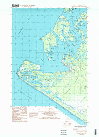
1987 Map of Yakutat C-5 SW
USGS Topo · Published 1988About this map
Yakutat sits at the edge of the Monti Bay and the Tongass National Forest, serving as a critical coastal outpost on this 1987 survey. The landscape is defined by the intricate waterways of the Ankau Saltchucks and the prominent sweep of the Monti Peninsula. Transportation and navigation infrastructure are central to the area's layout, from the Yakutat Airport in the east to the Khantaak Light guarding Port Mulgrave.
Find a feature on this map
43 named features on this map. Tap any name to fly to it.
Don’t see what you’re looking for? This feature index may not catch every label — zoom into the map to look around manually.
Map Details
Editions of this 1987 Yakutat C-5 SW Map
2 editions found
Other maps of this area

1951 · Yakutat
USGS Topo · 1:250,000

1959 · Yakutat B-5
USGS Topo · 1:63,360

1959 · Yakutat C-5
USGS Topo · 1:63,360

1959 · Yakutat
USGS Topo · 1:250,000
1985 · Yakutat C-6
USGS Topo · 1:63,360
1987 · Yakutat C-5 SE
USGS Topo · 1:25,000
1987 · Yakutat B-5 NE
USGS Topo · 1:25,000
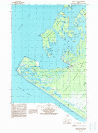
1987 · Yakutat C-5 SW
USGS Topo · 1:25,000
1996 · Yakutat C-5
USGS Topo · 1:63,360
2017 · Yakutat C-5 NE
USGS Topo · 1:25,000