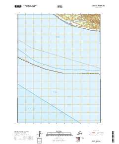
2017 Map of Yakutat C-8 NW
USGS Topo · Published 2017About this map
Wrangell-Saint Elias National Park encompasses the northern terrestrial reaches of this coastal quadrangle, where the massive Malaspina Glacier system meets the sea. The shoreline is defined by Cape Sitkagi, a prominent landform marking the transition between the open Pacific Ocean and the northern Gulf of Alaska. Near the cape, the Fountain Stream emerges from the glacial outwash, cutting through a landscape primarily characterized by shifting sands and icy runoff. Inland boundaries for Yakutat Borough and public land survey divisions such as t25s r26e and t25s r27e underscore the administrative overlay on this sparsely developed wilderness. The presence of the Whittier - Yakutat line offshore indicates the maritime corridors that have historically connected this remote Alaskan coast to broader Pacific trade routes.
Find a feature on this map
10 named features on this map. Tap any name to fly to it.
Don’t see what you’re looking for? This feature index may not catch every label — zoom into the map to look around manually.
Map Details
Editions of this 2017 Yakutat C-8 NW Map
This is the sole edition of this map. No revisions or reprints were ever made.
Other maps of this area

1950 · Icy Bay
USGS Topo · 1:250,000

1951 · Icy Bay
USGS Topo · 1:250,000

1951 · Yakutat
USGS Topo · 1:250,000

1959 · Yakutat
USGS Topo · 1:250,000

1961 · Icy Bay
USGS Topo · 1:250,000
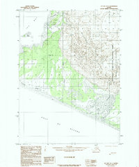
1985 · Icy Bay D-1
USGS Topo · 1:63,360
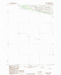
1985 · Yakutat C-8
USGS Topo · 1:63,360
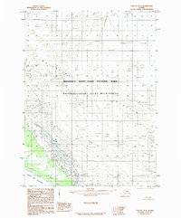
1985 · Yakutat D-8
USGS Topo · 1:63,360
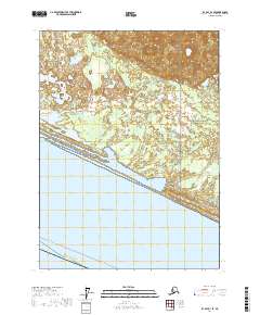
2017 · Icy Bay D-1 SE
USGS Topo · 1:25,000
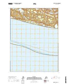
2017 · Yakutat C-8 NE
USGS Topo · 1:25,000