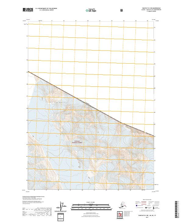
2021 Map of Yakutat D-3 NE
USGS Topo · Published 2021About this map
The Saint Elias Mountains dominate this high-altitude terrain along the international boundary between Alaska and Canada. In this protected landscape, the Tongass National Forest extends across the steep, glaciated slopes of the American side, while the border itself runs along the high ridgeline. A prominent geographic landmark, Mt Aylesworth, stands as a significant point of interest for those studying the topographic character of the northern frontier. The map details the complex contour patterns of this ice-heavy environment, illustrating the intersection of national forest land with the rugged boundary of British Columbia and the Yukon Territory.
Find a feature on this map
7 named features on this map. Tap any name to fly to it.
Don’t see what you’re looking for? This feature index may not catch every label — zoom into the map to look around manually.
Map Details
Editions of this 2021 Yakutat D-3 NE Map
This is the sole edition of this map. No revisions or reprints were ever made.
Other maps of this area

1951 · Yakutat
USGS Topo · 1:250,000

1951 · Mt Saint Elias
USGS Topo · 1:250,000

1959 · Yakutat D-3
USGS Topo · 1:63,360

1959 · Yakutat
USGS Topo · 1:250,000

1959 · Mt Saint Elias
USGS Topo · 1:250,000
1985 · Mount Saint Elias A-3
USGS Topo · 1:63,360
1985 · Yakutat D-2
USGS Topo · 1:63,360
2017 · Yakutat D-2 NW
USGS Topo · 1:25,000
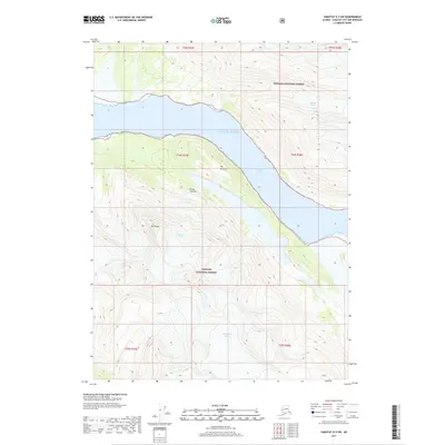
2017 · Yakutat D-3 SW
USGS Topo · 1:25,000
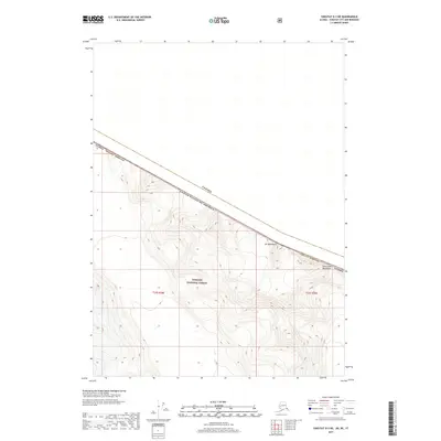
2017 · Yakutat D-3 NE
USGS Topo · 1:25,000