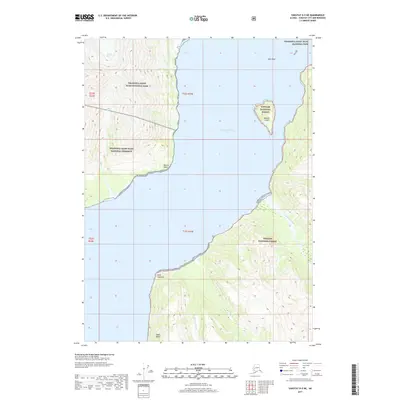
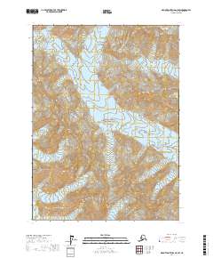
2017 Map of Yakutat D-5 NE
USGS Topo · Published 2017About this map
Disenchantment Bay dominates this glacial landscape, where the shifting ice of Turner Glacier and Black Glacier meets the saltwater of the North Pacific. The shoreline is marked by prominent coastal features including Point Latouche and Bancas Point, while Haenke Island stands as a lone terrestrial landmark amidst the bay's waters. The convergence of these massive ice flows into the sea creates a dynamic environment of calving ice and active sedimentation, visible through the presence of New Reef and the Logan Bluffs at the southern edge. Inland, the topography is defined by steep drainage systems such as Calahonda Creek, Indian Camp Cr, and Aquadulce Cr, which cut through the protected lands of Wrangell-Saint Elias National Park and the Tongass National Forest.
Find a feature on this map
18 named features on this map. Tap any name to fly to it.
Don’t see what you’re looking for? This feature index may not catch every label — zoom into the map to look around manually.
Map Details
Editions of this 2017 Yakutat D-5 NE Map
This is the sole edition of this map. No revisions or reprints were ever made.
Other maps of this area

1951 · Yakutat
USGS Topo · 1:250,000

1951 · Mt Saint Elias
USGS Topo · 1:250,000

1959 · Yakutat D-4
USGS Topo · 1:63,360

1959 · Yakutat D-5
USGS Topo · 1:63,360

1959 · Yakutat
USGS Topo · 1:250,000

1959 · Mt Saint Elias
USGS Topo · 1:250,000
1985 · Mount Saint Elias A-5
USGS Topo · 1:63,360
1985 · Mount Saint Elias A-4
USGS Topo · 1:63,360
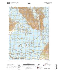
2017 · Mount Saint Elias A-4 SW
USGS Topo · 1:25,000
2017 · Mount Saint Elias A-5 SW
USGS Topo · 1:25,000