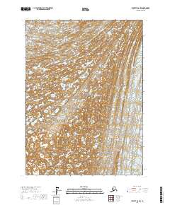
2017 Map of Yakutat D-8 NW
USGS Topo · Published 2017About this map
Wrangell-Saint Elias National Park encompasses this high-altitude Alaskan landscape, where the shifting ice of the Malaspina Glacier and Agassiz Glacier dominates the environment. The 2017 survey details the complex glacial topography of the Yakutat region, revealing a vast network of ice fields and meltwater patterns within the T22S and T23S townships. This map provides a technical record of the frozen terrain near the coast before further environmental changes might alter the glacial margins. While devoid of permanent human settlements, the map illustrates the boundary lines of the national park as they cross these massive ice flows, serving as a critical reference for understanding the geography of one of the most remote protected areas in North America.
Find a feature on this map
7 named features on this map. Tap any name to fly to it.
Don’t see what you’re looking for? This feature index may not catch every label — zoom into the map to look around manually.
Map Details
Editions of this 2017 Yakutat D-8 NW Map
This is the sole edition of this map. No revisions or reprints were ever made.
Other maps of this area

1950 · Bering Glacier
USGS Topo · 1:250,000

1950 · Icy Bay
USGS Topo · 1:250,000

1951 · Icy Bay
USGS Topo · 1:250,000

1951 · Bering Glacier
USGS Topo · 1:250,000

1951 · Yakutat
USGS Topo · 1:250,000

1951 · Mt Saint Elias
USGS Topo · 1:250,000

1959 · Yakutat
USGS Topo · 1:250,000

1959 · Bering Glacier
USGS Topo · 1:250,000

1959 · Mt Saint Elias
USGS Topo · 1:250,000

1961 · Icy Bay
USGS Topo · 1:250,000