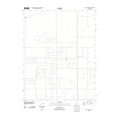
2011 Map of Yale Crossing
USGS Topo · Published 2011About this map
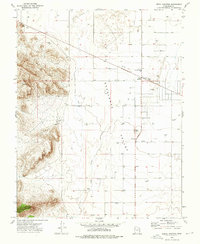
Escalante Valley defines this portion of Iron County, characterized by a grid-like network of rural roads and water management features. The settlement of Yale Crossing sits in the northwest, serving as a focal point in a landscape otherwise dominated by agricultural and mining infrastructure. Significant hydrological markers include Hogans Wash and the Escalante Mine Canal, the latter reflecting the area's industrial history and the necessity of water diversion in this arid environment. The road system, including W Antelope Rd and numerous numbered routes like W 6800 N and E 3200 N, reveals a highly organized land division pattern typical of the region's development during the early 21st century.
Find a feature on this map
26 named features on this map. Tap any name to fly to it.
Don’t see what you’re looking for? This feature index may not catch every label — zoom into the map to look around manually.
Map Details
Editions of this 2011 Yale Crossing Map
This is the sole edition of this map. No revisions or reprints were ever made.
Other maps of this area

1885 · St. George
USGS Topo · 1:250,000

1891 · St. George
USGS Topo · 1:250,000

1953 · Cedar City
USGS Topo · 1:250,000

1958 · Cedar City
USGS Topo · 1:250,000

1962 · Cedar City
USGS Topo · 1:250,000
1972 · Beryl
USGS Topo · 1:24,000
1972 · Yale Crossing
USGS Topo · 1:24,000
1972 · Bannion Spring
USGS Topo · 1:24,000

1972 · Pinon Point
USGS Topo · 1:24,000
1972 · Beryl Junction
USGS Topo · 1:24,000