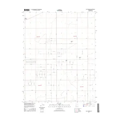
2017 Map of Yale Crossing
USGS Topo · Published 2017About this map
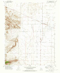
Yale Crossing occupies the northwest corner of this grid-heavy landscape, where the flat expanse of the Escalante Desert meets the agricultural developments of the Escalante Valley. The terrain is defined by a rigid system of section lines and gravel roads, reflecting a highly organized approach to desert land management and settlement. Water management is a critical theme, evidenced by the Escalante Mine Canal cutting across the southern sections and the natural drainage of Hogans Wash meandering through the central desert floor. Transportation is anchored by the N Beryl Hwy, which provides the primary north-south artery through this sparsely populated region. This survey illustrates the late 20th-century transition of the Iron County desert into a structured network of rural routes like Pioneer Rd and W Antelope Rd, supporting the local mining and ranching economy.
Find a feature on this map
43 named features on this map. Tap any name to fly to it.
Don’t see what you’re looking for? This feature index may not catch every label — zoom into the map to look around manually.
Map Details
Editions of this 2017 Yale Crossing Map
This is the sole edition of this map. No revisions or reprints were ever made.
Other maps of this area

1885 · St. George
USGS Topo · 1:250,000

1891 · St. George
USGS Topo · 1:250,000

1953 · Cedar City
USGS Topo · 1:250,000

1958 · Cedar City
USGS Topo · 1:250,000

1962 · Cedar City
USGS Topo · 1:250,000
1972 · Beryl
USGS Topo · 1:24,000
1972 · Yale Crossing
USGS Topo · 1:24,000
1972 · Bannion Spring
USGS Topo · 1:24,000

1972 · Pinon Point
USGS Topo · 1:24,000
1972 · Beryl Junction
USGS Topo · 1:24,000