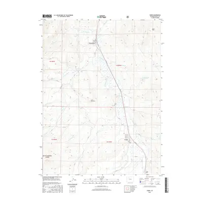
2016 Map of Yampa
USGS Topo · Published 2016About this map
The Yampa River valley in the mid-2010s reveals a landscape defined by ranching, water management, and the high-country transition into the Routt National Forest. The settlement of Yampa sits at the southern end of the sheet, characterized by its grid of Lincoln St and Main St, while Phippsburg marks the northern extent. Between these two communities, the reliance on mountain runoff is evident through an extensive system of irrigation works including the Palisades Ditch, N Hunt Cr Ditch, and Burnt Mesa Ditch. Notable geological landmarks like Devils Grave Mesa and the spire of Finger Rock dominate the terrain, providing clear visual anchors for researchers. Significant water bodies such as the Whiteley-Nelson Reservoir and Eagle Rock Lakes highlight the complex hydrology of the region as it feeds into the Bear River.
Find a feature on this map
52 named features on this map. Tap any name to fly to it.
Don’t see what you’re looking for? This feature index may not catch every label — zoom into the map to look around manually.
Map Details
Editions of this 2016 Yampa Map
This is the sole edition of this map. No revisions or reprints were ever made.
Other maps of this area
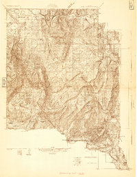
1924 · Mt. Harris
USGS Topo · 1:48,000
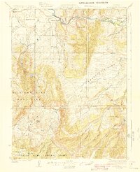
1926 · Mount Harris
USGS Topo · 1:62,500
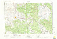
1954 · Craig
USGS Topo · 1:250,000
1957 · Craig
USGS Topo · 1:250,000
1958 · Craig
USGS Topo · 1:250,000
1960 · Craig
USGS Topo · 1:250,000
1962 · Craig
USGS Topo · 1:250,000
1964 · Craig
USGS Topo · 1:250,000
1965 · Craig
USGS Topo · 1:250,000
1966 · Sand Point
USGS Topo · 1:24,000