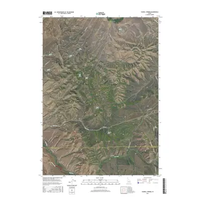
2017 Map of Yandell Springs
USGS Topo · Published 2017About this map
Yandell Springs and the surrounding high country of the Fort Hall Indian Reservation define this 2017 survey on the border of Bingham and Bannock counties. The landscape is characterized by a network of drainage basins and named springs, including Buckskin Spring, Coyote Spring, and Martin Spring, which feed into the Ross Fork creek system. This water-scarce environment is managed through significant irrigation infrastructure, notably the Metz Ditch and Farmer Ditch visible in the southwest.
Find a feature on this map
37 named features on this map. Tap any name to fly to it.
Don’t see what you’re looking for? This feature index may not catch every label — zoom into the map to look around manually.
Map Details
Editions of this 2017 Yandell Springs Map
This is the sole edition of this map. No revisions or reprints were ever made.
Other maps of this area

1937 · Pocatello
USGS Topo · 1:48,000

1940 · Blackfoot
USGS Topo · 1:62,500

1943 · Blackfoot
USGS Topo · 1:62,500

1944 · Pocatello
USGS Topo · 1:62,500

1951 · Higham Peak
USGS Topo · 1:24,000

1954 · Pocatello
USGS Topo · 1:250,000

1955 · Lincoln Creek
USGS Topo · 1:24,000

1955 · Yandell Springs
USGS Topo · 1:62,500

1955 · Idaho Falls
USGS Topo · 1:250,000

1958 · Idaho Falls
USGS Topo · 1:250,000