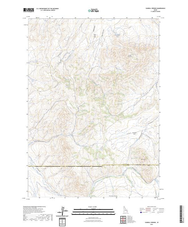
2023 Map of Yandell Springs
USGS Topo · Published 2023About this map
Yandell Mountain dominates the northeast quadrant of this high-altitude landscape where the Bingham and Bannock county line bisects the southern reaches of the Portneuf Range. The territory is defined by its complex hydrology, with numerous named water sources such as Buckskin Spring, White Rock Spring, and the namesake Yandell Springs providing vital points of reference across the arid terrain. The drainage of Ross Fork winds through the south, supported by irrigation infrastructure like the Metz Ditch and Farmer Ditch. Transportation and industrial history are marked by the presence of Gay Mine Rd, which serves the western basins, and Pole Line Rd navigating the eastern slopes. Distinctive landforms like Dare Peak and Lone Pine Canyon provide significant topographical relief in this 2023 survey of the Idaho interior.
Find a feature on this map
36 named features on this map. Tap any name to fly to it.
Don’t see what you’re looking for? This feature index may not catch every label — zoom into the map to look around manually.
Map Details
Editions of this 2023 Yandell Springs Map
This is the sole edition of this map. No revisions or reprints were ever made.
Other maps of this area

1937 · Pocatello
USGS Topo · 1:48,000

1940 · Blackfoot
USGS Topo · 1:62,500

1943 · Blackfoot
USGS Topo · 1:62,500

1944 · Pocatello
USGS Topo · 1:62,500

1951 · Higham Peak
USGS Topo · 1:24,000

1954 · Pocatello
USGS Topo · 1:250,000

1955 · Lincoln Creek
USGS Topo · 1:24,000

1955 · Yandell Springs
USGS Topo · 1:62,500

1955 · Idaho Falls
USGS Topo · 1:250,000

1958 · Idaho Falls
USGS Topo · 1:250,000