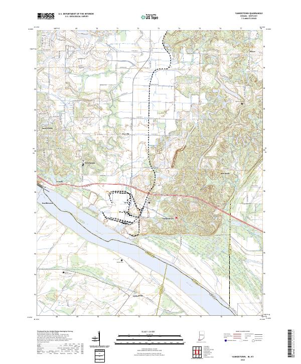
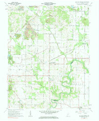
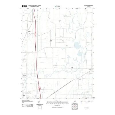
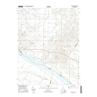
2022 Map of Yankeetown
USGS Topo · Published 2022About this map
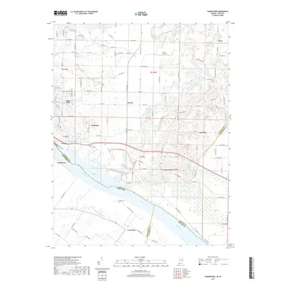
Yankeetown and the surrounding riverfront of Warrick County anchor this modern survey along the banks of the Ohio River. The landscape is defined by its proximity to the water, featuring a dense network of managed drainage like McCool Ditch and Kaiser Ditch alongside natural waterways such as Little Pigeon Creek. These features underscore the agricultural and hydrological management necessary in the lowlands near Scuffletown and Vanada.
Find a feature on this map
122 named features on this map. Tap any name to fly to it.
Don’t see what you’re looking for? This feature index may not catch every label — zoom into the map to look around manually.
Map Details
Editions of this 2022 Yankeetown Map
This is the sole edition of this map. No revisions or reprints were ever made.
Historical Maps of Newburgh Through Time
28 maps found

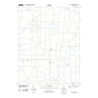
1900 De Gonia Springs
Warrick County, IN
1902 Degonia Springs
Warrick County, IN
1902 Ditney
Warrick County, IN
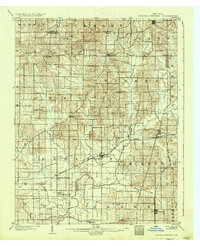
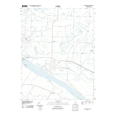
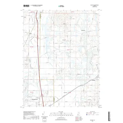
1951 Yankeetown
Warrick County, IN
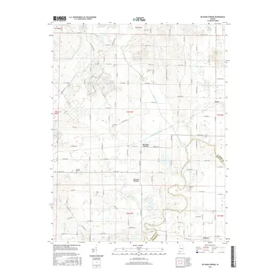
1960 De Gonia Springs
Warrick County, IN
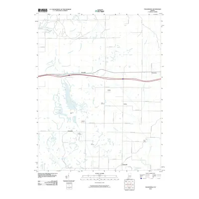
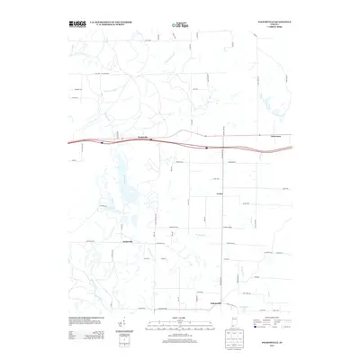
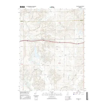
1960 Folsomville
Warrick County, IN
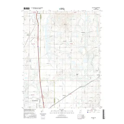
1961 Daylight
Warrick County, IN
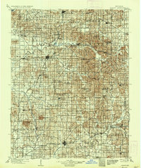
1964 Yankeetown
Warrick County, IN
2010 Daylight
Warrick County, IN
2010 De Gonia Springs
Warrick County, IN
2010 Folsomville
Warrick County, IN
2010 Yankeetown
Warrick County, IN
2013 Daylight
Warrick County, IN
2013 De Gonia Springs
Warrick County, IN
2013 Folsomville
Warrick County, IN
2013 Yankeetown
Warrick County, IN
2016 Daylight
Warrick County, IN
2016 De Gonia Springs
Warrick County, IN
2016 Folsomville
Warrick County, IN
2016 Yankeetown
Warrick County, IN
2019 Daylight
Warrick County, IN
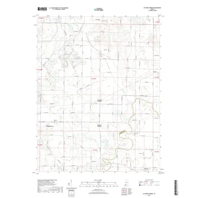
2019 De Gonia Springs
Warrick County, IN
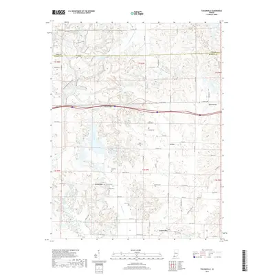
2019 Folsomville
Warrick County, IN
2019 Yankeetown
Warrick County, IN
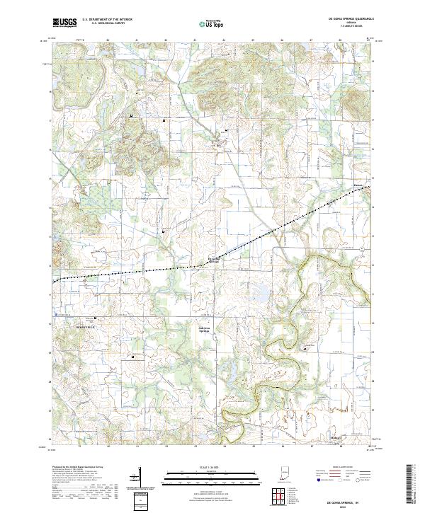
2022 De Gonia Springs
Warrick County, IN
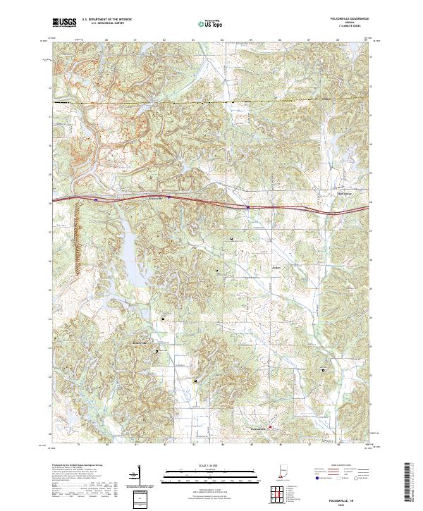
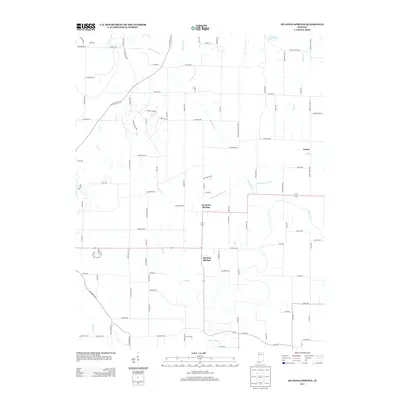
2022 Folsomville
Warrick County, IN
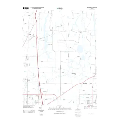
2022 Yankeetown
Warrick County, IN
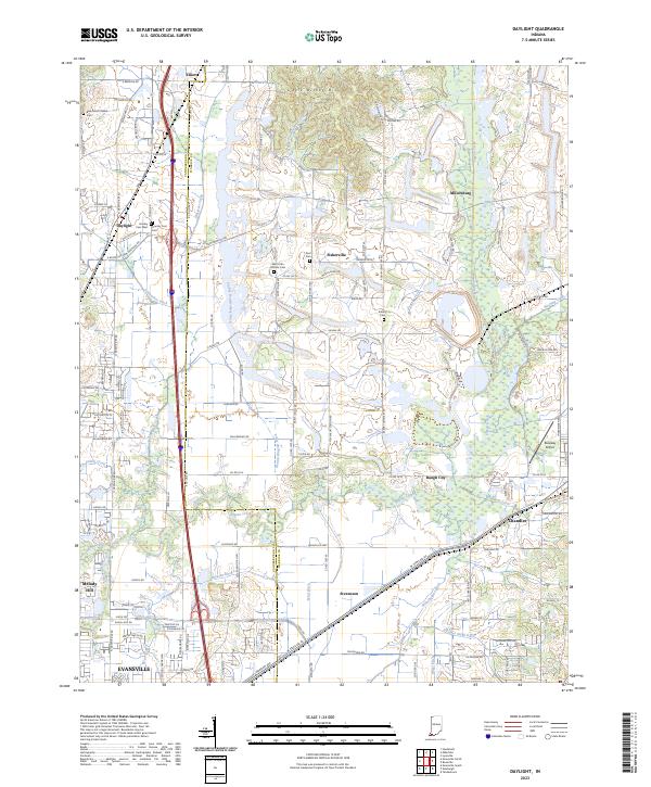
2023 Daylight
Warrick County, IN