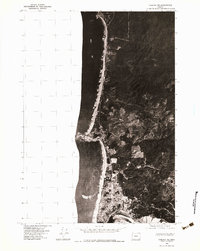
1975 Map of Yaquina NE
USGS Topo · Published 1979About this map
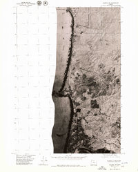
Newport's northern expansion is clearly visible in this mid-1970s orthophoto, showing the growing residential and commercial footprints along the Oregon coast. The aerial photography from September 1975 provides a sharp view of the land use patterns during a period of significant coastal development. To the north, the prominent silhouette of Yaquina Head juts into the Pacific Ocean, its rocky profile serving as a permanent landmark for the shifting sands of the adjacent beaches. This specific study captures the contrast between the dense forest cover of the coastal hills and the emerging suburban grid of the town, revealing the literal path of local growth before further modernization changed the landscape of Lincoln County.
Find a feature on this map
3 named features on this map. Tap any name to fly to it.
Don’t see what you’re looking for? This feature index may not catch every label — zoom into the map to look around manually.
Map Details
Editions of this 1975 Yaquina NE Map
2 editions found
Other maps of this area

1941 · Cape Foulweather
USGS Topo · 1:62,500

1942 · Euchre Mtn
USGS Topo · 1:62,500

1942 · Yaquina
USGS Topo · 1:62,500

1942 · Toledo
USGS Topo · 1:62,500

1943 · Euchre Mtn
USGS Topo · 1:62,500

1944 · Cape Foulweather
USGS Topo · 1:62,500

1953 · Salem
USGS Topo · 1:250,000

1954 · Salem
USGS Topo · 1:250,000

1957 · Cape Foulweather
USGS Topo · 1:62,500

1957 · Yaquina
USGS Topo · 1:62,500