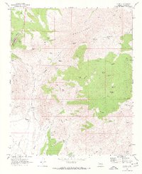
1969 Map of Yarnell
USGS Topo · Published 1973About this map
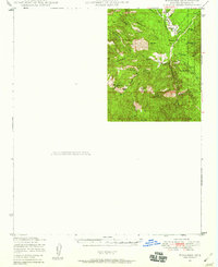
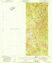
Weaver Mountains topography dominates this 1960s study, revealing a landscape defined by an intensive history of hard-rock mining and mountain settlement. The area around Yarnell and the settlement of Stanton is punctuated by numerous mining operations, including the Yarnell Mine, Octave Mine, and the Leviathan Mine. These sites, alongside smaller prospects like the Devils Nest Mine and Beehive Mine, indicate a high level of mineral exploration and development across the high desert terrain.
Find a feature on this map
61 named features on this map. Tap any name to fly to it.
Don’t see what you’re looking for? This feature index may not catch every label — zoom into the map to look around manually.
Map Details
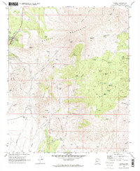
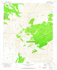
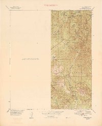
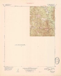
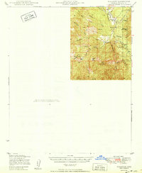
Editions of this 1969 Yarnell Map
3 editions found
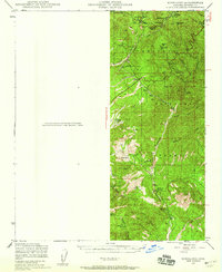
Other maps of this area

1887 · Prescott
USGS Topo · 1:250,000

1892 · Prescott
USGS Topo · 1:250,000

1903 · Congress
USGS Topo · 1:125,000

1904 · Congress
USGS Topo · 1:125,000
1947 · Kirkland
USGS Topo · 1:62,500
1947 · Wagoner
USGS Topo · 1:62,500
1948 · Kirkland
USGS Topo · 1:63,360
1948 · Wagoner
USGS Topo · 1:63,360
1950 · Wagoner
USGS Topo · 1:62,500
1950 · Kirkland
USGS Topo · 1:62,500