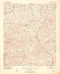
1951 Map of Yatesville
USGS Topo · Published 1952About this map
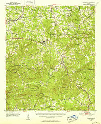
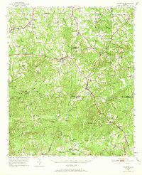
Yatesville serves as a central hub in this mid-century portrait of Middle Georgia, where the borders of Upson, Monroe, Crawford, and Lamar Counties converge. The landscape is defined by the intersection of the Central of Georgia and Southern railroads, creating vital transport links for rural communities like Culloden and Musella. Genealogists will find a dense distribution of family and community landmarks, including numerous small schools like Union Hill Sch and Anniebel Sch, alongside historic congregational sites such as Kings Chapel and Mt Olive Ch.
Find a feature on this map
90 named features on this map. Tap any name to fly to it.
Don’t see what you’re looking for? This feature index may not catch every label — zoom into the map to look around manually.
Map Details
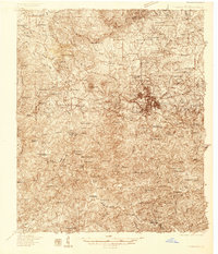
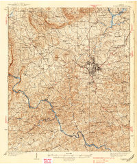
Editions of this 1951 Yatesville Map
3 editions found
Other maps of this area
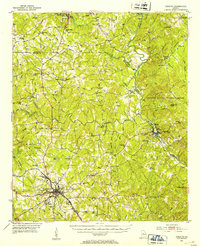
1935 · Thomaston
USGS Topo · 1:48,000
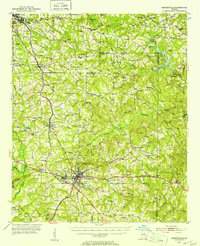
1939 · Thomaston
USGS Topo · 1:62,500
1951 · Yatesville
USGS Topo · 1:62,500
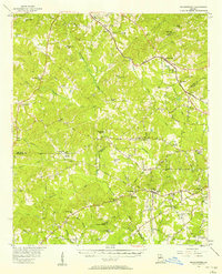
1951 · Forsyth
USGS Topo · 1:62,500
1951 · Barnesville
USGS Topo · 1:62,500

1953 · Atlanta
USGS Topo · 1:250,000

1953 · Athens
USGS Topo · 1:250,000

1955 · Phenix City
USGS Topo · 1:250,000

1956 · Fort Valley
USGS Topo · 1:62,500
1956 · Bolingbroke
USGS Topo · 1:62,500