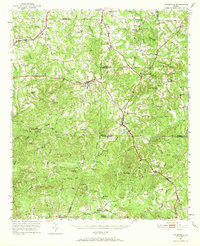
1951 Map of Yatesville
USGS Topo · Published 1969About this map
Yatesville and Culloden serve as the primary hubs in this central Georgia landscape, where the Central Of Georgia and Southern railroads intersect at Topeka Junction. The terrain is defined by a dense network of tributaries including Echeconnee Creek, Tobler Creek, and Little Potato Creek, which carve through the clay hills of Upson, Monroe, and Crawford counties. Notable for its high density of rural institutions, the map reveals the social fabric of the early 1950s through numerous named churches like Mt Olive Ch and Sharon Ch, alongside local education centers such as Anniebel Sch and Russellville Sch. This survey documents a transition in rural life, where small settlements like The Rock and Logtown remained connected by both rail lines and developing routes like Georgia 74, reflecting an economy still closely tied to the land and its watercourses.
Find a feature on this map
81 named features on this map. Tap any name to fly to it.
Don’t see what you’re looking for? This feature index may not catch every label — zoom into the map to look around manually.
Map Details
Editions of this 1951 Yatesville Map
3 editions found
Other maps of this area

1935 · Thomaston
USGS Topo · 1:48,000

1939 · Thomaston
USGS Topo · 1:62,500

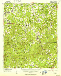
1951 · Yatesville
USGS Topo · 1:62,500

1951 · Forsyth
USGS Topo · 1:62,500

1951 · Barnesville
USGS Topo · 1:62,500

1953 · Atlanta
USGS Topo · 1:250,000

1953 · Athens
USGS Topo · 1:250,000

1955 · Phenix City
USGS Topo · 1:250,000

1956 · Fort Valley
USGS Topo · 1:62,500

1956 · Bolingbroke
USGS Topo · 1:62,500