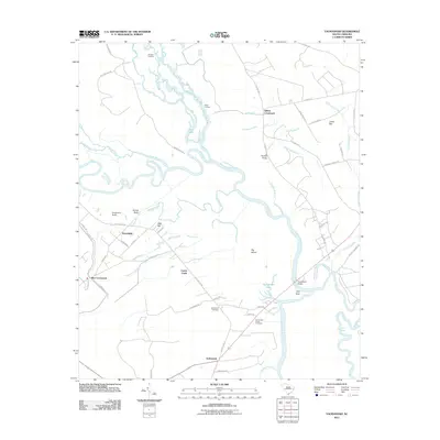
2011 Map of Yauhannah
USGS Topo · Published 2011About this map
Yauhannah and its surrounding Lowcountry riverine landscape are defined by the convergence of the Great Pee Dee River and the Little Pee Dee River in this 2011 survey. The settlement patterns follow the winding waterways and ancient swamp margins, with small communities like Rice Crossroads, Gilbert Crossroads, and Petersfield established at key road junctions. Historic river access is marked by Sanders Landing and Parker Landing, while the modern transportation network crosses the water at Yauhannah Bridge.
Find a feature on this map
59 named features on this map. Tap any name to fly to it.
Don’t see what you’re looking for? This feature index may not catch every label — zoom into the map to look around manually.
Map Details
Editions of this 2011 Yauhannah Map
This is the sole edition of this map. No revisions or reprints were ever made.
Other maps of this area
1943 · Yauhannah
USGS Topo · 1:24,000
1943 · Bucksville
USGS Topo · 1:24,000
1943 · Carvers Bay
USGS Topo · 1:24,000
1943 · Brookgreen
USGS Topo · 1:24,000
1943 · Plantersville
USGS Topo · 1:24,000
1943 · Dongola
USGS Topo · 1:24,000
1943 · Conway
USGS Topo · 1:24,000
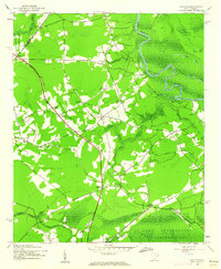
1943 · Outland
USGS Topo · 1:24,000
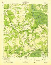
1944 · Outland
USGS Topo · 1:31,680
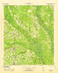
1946 · Johnsonville
USGS Topo · 1:62,500