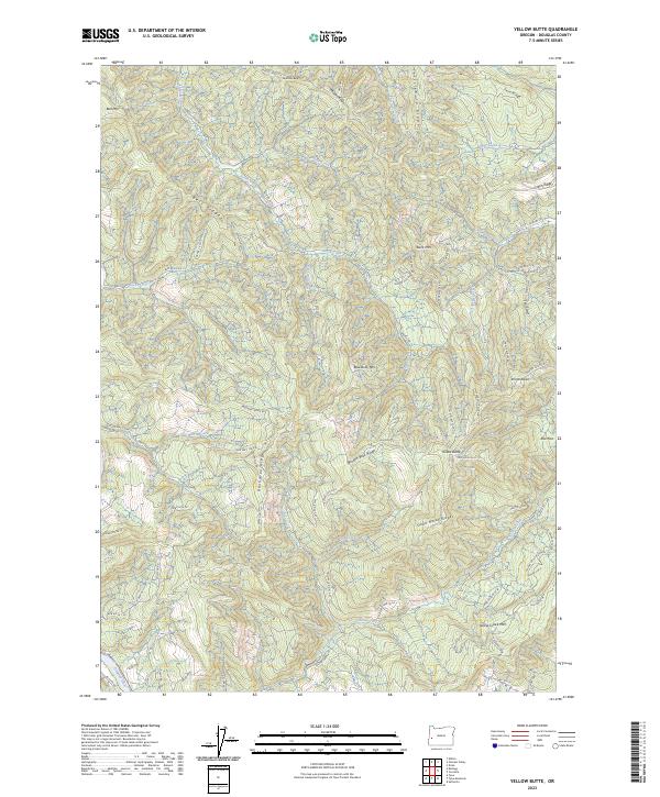
2023 Map of Yellow Butte
USGS Topo · Published 2023About this map
Yellow Butte and the surrounding high ridges of Douglas County define this landscape along the Umpqua River corridor. This modern topographic survey illustrates a complex network of Bureau of Land Management routes, such as Brush Creek Rd and Prince Albert Rd, that provide access to timberlands and remote summits including Bell Mtn and Blue-Buck Mtn. The terrain is characterized by steep, parallel drainages like Brush Creek and Yellow Creek, separated by named features such as Broken Back Ridge and Dead Horse Ridge. Notable landmarks like Prince Albert and the open ground at Rice Flat contrast with the densely contoured elevations. The map provides a contemporary view of land management and natural topography in the Oregon Coast Range foothills just north of State Hwy 138 W.
Find a feature on this map
86 named features on this map. Tap any name to fly to it.
Don’t see what you’re looking for? This feature index may not catch every label — zoom into the map to look around manually.
Map Details
Editions of this 2023 Yellow Butte Map
This is the sole edition of this map. No revisions or reprints were ever made.
Other maps of this area

1897 · Roseburg
USGS Topo · 1:125,000

1900 · Roseburg
USGS Topo · 1:125,000

1928 · Sitkum
USGS Topo · 1:125,000

1954 · Sutherlin
USGS Topo · 1:62,500

1954 · Drain
USGS Topo · 1:62,500

1955 · Tyee
USGS Topo · 1:62,500

1955 · Elkton
USGS Topo · 1:62,500

1958 · Roseburg
USGS Topo · 1:250,000

1959 · Roseburg
USGS Topo · 1:250,000

1979 · Roseburg
USGS Topo · 1:100,000