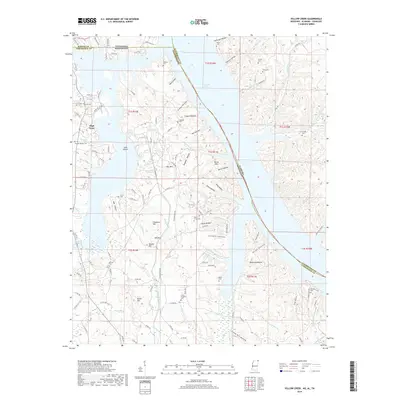
2018 Map of Yellow Creek
USGS Topo · Published 2018About this map
Pickwick Lake dominates this borderland geography, where the Tennessee River waters meet the junctions of Mississippi, Alabama, and Tennessee. The landscape is a complex network of ridges and drainages, notably characterized by named summits like Chestnut Hill, Potato Hill, and Bonds Mtn. Numerous small hollows such as Meat Hollow, Coney Hollow, and Steam Mill Hollow cut through the terrain, suggesting a history of small-scale timbering or early homesteading in the narrow valleys between the hills.
Find a feature on this map
120 named features on this map. Tap any name to fly to it.
Don’t see what you’re looking for? This feature index may not catch every label — zoom into the map to look around manually.
Map Details
Editions of this 2018 Yellow Creek Map
This is the sole edition of this map. No revisions or reprints were ever made.
Other maps of this area

1911 · Iuka
USGS Topo · 1:48,000

1914 · Iuka
USGS Topo · 1:62,500

1935 · Doskie
USGS Topo · 1:24,000

1935 · Iuka
USGS Topo · 1:24,000

1935 · Leedy
USGS Topo · 1:24,000

1936 · Margerum
USGS Topo · 1:24,000

1936 · Waterloo
USGS Topo · 1:24,000

1936 · Counce
USGS Topo · 1:24,000

1936 · Shaws
USGS Topo · 1:24,000

1936 · Pickwick
USGS Topo · 1:24,000