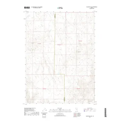
2018 Map of Yellow Hills East
USGS Topo · Published 2018About this map
The Yellow Hills and the adjacent Black Buttes define the high-desert topography along the border of Washoe and Humboldt counties. This arid landscape is punctuated by vital water sources such as Mustang Spring and Buck Spring, which have long served as critical waypoints in the Great Basin region. The map reveals a drainage system directed by Cottonwood Cr and Wall Canyon Cr, highlighting how the natural contours and seasonal waterways dictate movement through this corner of Nevada. Surveyed in the modern era, the cartography captures the precise township and range divisions, including t41n r23.5e, that organize this vast public land. It is a portrait of a working rangeland where the names reflect the fundamental elements of the terrain and its history of resource navigation.
Find a feature on this map
12 named features on this map. Tap any name to fly to it.
Don’t see what you’re looking for? This feature index may not catch every label — zoom into the map to look around manually.
Map Details
Editions of this 2018 Yellow Hills East Map
This is the sole edition of this map. No revisions or reprints were ever made.
Other maps of this area

1889 · Long Valley
USGS Topo · 1:250,000

1954 · Vya
USGS Topo · 1:250,000

1958 · Vya
USGS Topo · 1:250,000

1962 · Vya
USGS Topo · 1:250,000

1965 · Rock Spring Table
USGS Topo · 1:62,500

1966 · Nut Mountain
USGS Topo · 1:24,000

1966 · Badger Mtn SE
USGS Topo · 1:24,000

1972 · Mud Meadow
USGS Topo · 1:24,000

1972 · Mahogany Mtn
USGS Topo · 1:24,000

1972 · Soldier Meadow
USGS Topo · 1:24,000