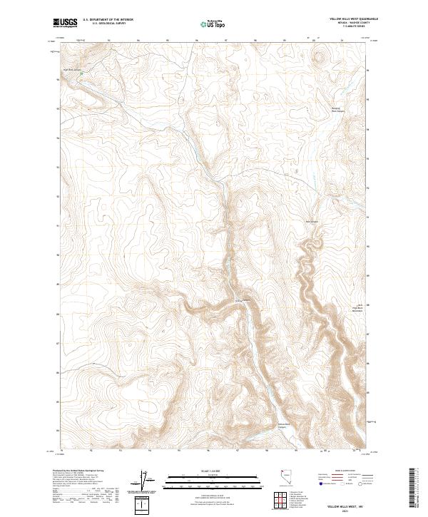
2021 Map of Yellow Hills West
USGS Topo · Published 2021About this map
The rugged topography of the northwestern Nevada desert is defined here by the southeastern edge of the Little High Rock Mountains. Deep drainage systems have carved a series of significant landmarks through the plateau, most notably the towering walls of High Rock Canyon and the neighboring Hanging Rock Canyon. These corridors have historically served as critical passage points through the arid landscape, following the seasonal flows of High Rock Cr and Wall Canyon Cr.
Find a feature on this map
16 named features on this map. Tap any name to fly to it.
Don’t see what you’re looking for? This feature index may not catch every label — zoom into the map to look around manually.
Map Details
Editions of this 2021 Yellow Hills West Map
This is the sole edition of this map. No revisions or reprints were ever made.
Other maps of this area

1889 · Long Valley
USGS Topo · 1:250,000

1954 · Vya
USGS Topo · 1:250,000

1958 · Vya
USGS Topo · 1:250,000

1962 · Vya
USGS Topo · 1:250,000

1966 · Nut Mountain
USGS Topo · 1:24,000

1966 · Badger Mtn SE
USGS Topo · 1:24,000

1966 · Massacre Creek
USGS Topo · 1:24,000

1972 · Mahogany Mtn
USGS Topo · 1:24,000

1972 · High Rock Lake
USGS Topo · 1:24,000
1972 · Yellow Hills East
USGS Topo · 1:24,000