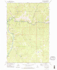
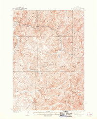
1973 Map of Yellow Pine
USGS Topo · Published 1976About this map
The mountain settlement of Yellow Pine serves as the focal point for this 1970s Forest Service study, situated at the confluence of the East Fork South Fork Salmon River and Johnson Creek. The landscape is a remote patchwork of public lands, divided between the Payette National Forest and Boise National Forest. Local history is visible in landmarks like the Pioneer Cem and the Abstein Place, while the valley floor reflects essential wilderness infrastructure including the Johnson Creek Airport and the Johnson Creek Forest Service Station.
Find a feature on this map
39 named features on this map. Tap any name to fly to it.
Don’t see what you’re looking for? This feature index may not catch every label — zoom into the map to look around manually.
Map Details
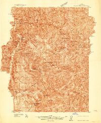
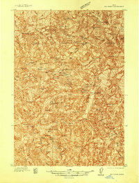
Editions of this 1973 Yellow Pine Map
2 editions found
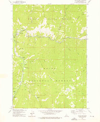
Other maps of this area
1937 · Yellow Pine
USGS Topo · 1:48,000
1937 · Big Creek
USGS Topo · 1:48,000

1942 · Big Creek
USGS Topo · 1:62,500
1943 · Yellow Pine
USGS Topo · 1:62,500

1956 · Elk City
USGS Topo · 1:250,000

1957 · Challis
USGS Topo · 1:250,000

1960 · Elk City
USGS Topo · 1:250,000

1960 · Challis
USGS Topo · 1:250,000

1963 · Challis
USGS Topo · 1:250,000
1969 · Edwardsburg
USGS Topo · 1:24,000