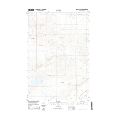
2014 Map of Yellow Water Reservoir
USGS Topo · Published 2014About this map
Yellow Water Reservoir serves as a central landmark in this portion of Petroleum County, where the high plains of central Montana meet a network of seasonal drainages. This landscape is defined by the winding paths of McDonald Cr in the north and Elk Cr cutting across the central sections. The map illustrates a remote ranching and water-management landscape, where primitive routes like the Yellow Water Trl and Elk Creek Rd provide access through the vast township and range divisions. The convergence of Yellow Water Cr near the reservoir highlights the importance of water storage in this arid environment. To the southeast, the paved route of Mt-244 provides a contrast to the gravel and dirt tracks that dominate the interior, tracing the historical movement patterns of the region's rural inhabitants.
Find a feature on this map
12 named features on this map. Tap any name to fly to it.
Don’t see what you’re looking for? This feature index may not catch every label — zoom into the map to look around manually.
Map Details
Editions of this 2014 Yellow Water Reservoir Map
This is the sole edition of this map. No revisions or reprints were ever made.
Other maps of this area

1954 · Roundup
USGS Topo · 1:250,000

1954 · Lewistown
USGS Topo · 1:250,000

1958 · Roundup
USGS Topo · 1:250,000

1959 · Lewistown
USGS Topo · 1:250,000

1986 · Snoose Creek
USGS Topo · 1:24,000

1986 · Flatwillow
USGS Topo · 1:24,000

1986 · Pike Creek Hills East
USGS Topo · 1:24,000

1986 · Winnett North
USGS Topo · 1:24,000

1986 · Crowley Dam
USGS Topo · 1:24,000

1986 · Teigen
USGS Topo · 1:24,000