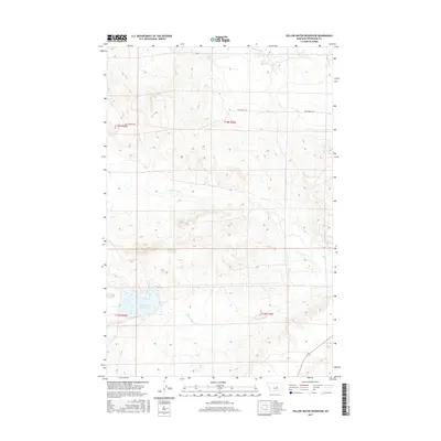
2017 Map of Yellow Water Reservoir
USGS Topo · Published 2017About this map
Yellow Water Reservoir serves as a primary water source in this section of Petroleum County, where the high plains landscape is defined by the drainage of Yellow Water Cr. The surrounding terrain features a network of coulees and ridges carved by Elk Cr and McDonald Cr, which flow through the northern reaches of the quadrangle. This 2017 survey shows a land shaped by the Public Land Survey System, with the intersections of t14n r25e, t14n r26e, t13n r25e, and t13n r26e meeting near the central drainages. The Old Winnett Rd provides the primary transit route through this ranching country, tracing the upper elevations and offering a look at the modern rural infrastructure of central Montana.
Find a feature on this map
9 named features on this map. Tap any name to fly to it.
Don’t see what you’re looking for? This feature index may not catch every label — zoom into the map to look around manually.
Map Details
Editions of this 2017 Yellow Water Reservoir Map
This is the sole edition of this map. No revisions or reprints were ever made.
Other maps of this area

1954 · Roundup
USGS Topo · 1:250,000

1954 · Lewistown
USGS Topo · 1:250,000

1958 · Roundup
USGS Topo · 1:250,000

1959 · Lewistown
USGS Topo · 1:250,000

1986 · Snoose Creek
USGS Topo · 1:24,000

1986 · Flatwillow
USGS Topo · 1:24,000

1986 · Pike Creek Hills East
USGS Topo · 1:24,000

1986 · Winnett North
USGS Topo · 1:24,000

1986 · Crowley Dam
USGS Topo · 1:24,000

1986 · Teigen
USGS Topo · 1:24,000