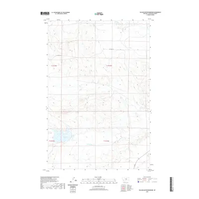
2020 Map of Yellow Water Reservoir
USGS Topo · Published 2020About this map
Yellow Water Reservoir serves as the central focal point in this sparsely populated section of Petroleum County, Montana. The landscape is defined by the drainage patterns of Yellow Water Cr and Elk Cr, which carve through the high plains terrain. Significant for local transit and historical routing, Old Winnett Rd traverses the northern section of the quadrangle, while Rte 244 provides a modern north-south connection in the southeast. These routes reflect the area's ongoing reliance on gravel and paved corridors to bridge vast distances between ranching hubs. In the far northern reaches, McDonald Cr meanders through the drainages, illustrating the vital role these seasonal and permanent water sources play in the regional ecology.
Find a feature on this map
10 named features on this map. Tap any name to fly to it.
Don’t see what you’re looking for? This feature index may not catch every label — zoom into the map to look around manually.
Map Details
Editions of this 2020 Yellow Water Reservoir Map
This is the sole edition of this map. No revisions or reprints were ever made.
Other maps of this area

1954 · Roundup
USGS Topo · 1:250,000

1954 · Lewistown
USGS Topo · 1:250,000

1958 · Roundup
USGS Topo · 1:250,000

1959 · Lewistown
USGS Topo · 1:250,000

1986 · Snoose Creek
USGS Topo · 1:24,000

1986 · Flatwillow
USGS Topo · 1:24,000

1986 · Pike Creek Hills East
USGS Topo · 1:24,000

1986 · Winnett North
USGS Topo · 1:24,000

1986 · Crowley Dam
USGS Topo · 1:24,000

1986 · Teigen
USGS Topo · 1:24,000