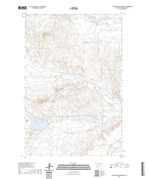
2024 Map of Yellow Water Reservoir
USGS Topo · Published 2024About this map
War Horse National Wildlife Refuge anchors the southern portion of this landscape in Petroleum County, where conservation land meets the drainage patterns of the Central Montana plains. The terrain is defined by the winding course of McDonald Creek in the north and Elk Creek through the center, while Yellow Water Creek feeds into the reservoir area. These waterways historically dictated the movement and settlement of the region, providing rare water sources in a semi-arid environment. Infrastructure is sparse, primarily represented by Old Winnett Rd and Rte 244, reflecting the area's continued use for large-scale ranching and wildlife management. The map illustrates the intersection of public land boundaries and natural water features that have shaped local land use for generations.
Find a feature on this map
10 named features on this map. Tap any name to fly to it.
Don’t see what you’re looking for? This feature index may not catch every label — zoom into the map to look around manually.
Map Details
Editions of this 2024 Yellow Water Reservoir Map
This is the sole edition of this map. No revisions or reprints were ever made.
Other maps of this area

1954 · Roundup
USGS Topo · 1:250,000

1954 · Lewistown
USGS Topo · 1:250,000

1958 · Roundup
USGS Topo · 1:250,000

1959 · Lewistown
USGS Topo · 1:250,000

1986 · Snoose Creek
USGS Topo · 1:24,000

1986 · Flatwillow
USGS Topo · 1:24,000

1986 · Pike Creek Hills East
USGS Topo · 1:24,000

1986 · Winnett North
USGS Topo · 1:24,000

1986 · Crowley Dam
USGS Topo · 1:24,000

1986 · Teigen
USGS Topo · 1:24,000