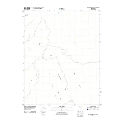
2011 Map of Yellowhorse Flat
USGS Topo · Published 2011About this map
Yellowhorse Flat dominates the central landscape of this high desert terrain on the Arizona-Utah border, situated between the expansive heights of West Mesa and East Mesa. The 2011 survey reveals an arid environment defined by seasonal drainage patterns, where Dutchman Draw and Quail Draw channel water toward Dutchman Wash and the more prominent Fort Pearce Wash to the north. Connectivity in this isolated region is provided by Sunshine Trail Rd, which snakes across the flats and past Joe Blake Hill. The map also identifies localized water sources and landmarks like Blake Pond and the prominent Little Black Mountain at the northwestern edge, serving as vital navigation points in a landscape shaped by mesas and dry washes.
Find a feature on this map
11 named features on this map. Tap any name to fly to it.
Don’t see what you’re looking for? This feature index may not catch every label — zoom into the map to look around manually.
Map Details
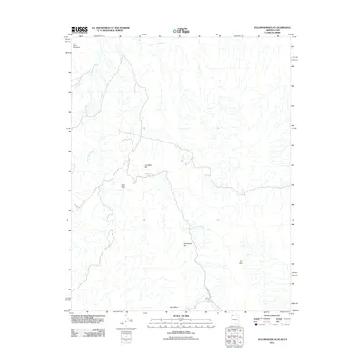
Editions of this 2011 Yellowhorse Flat Map
2 editions found
Other maps of this area

1885 · St. George
USGS Topo · 1:250,000

1886 · Mt. Trumbull
USGS Topo · 1:250,000

1891 · St. George
USGS Topo · 1:250,000

1892 · Mt. Trumbull
USGS Topo · 1:250,000

1953 · Cedar City
USGS Topo · 1:250,000

1953 · Grand Canyon
USGS Topo · 1:250,000

1954 · Hurricane Cliffs 2 NW
USGS Topo · 1:24,000

1954 · Hurricane Cliffs 2 NE
USGS Topo · 1:24,000

1954 · La Verkin 3 SE
USGS Topo · 1:24,000

1954 · La Verkin 3 SW
USGS Topo · 1:24,000