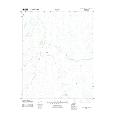
2011 Map of Yellowhorse Flat
USGS Topo · Published 2011About this map
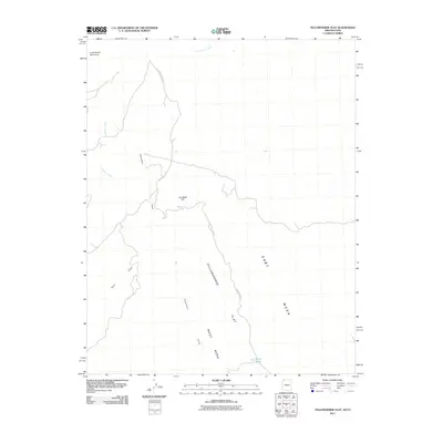
Yellowhorse Flat and the surrounding high desert terrain define this landscape on the border of Utah and Arizona. At the turn of the 21st century, this area southeast of St. George remains characterized by a sparse network of drainage patterns and topographical landmarks rather than dense settlement. The presence of Sunshine Trail Rd provides the primary human corridor through the region, winding past Blake Pond and across the expansive West Mesa.
Find a feature on this map
10 named features on this map. Tap any name to fly to it.
Don’t see what you’re looking for? This feature index may not catch every label — zoom into the map to look around manually.
Map Details
Editions of this 2011 Yellowhorse Flat Map
2 editions found
Other maps of this area

1885 · St. George
USGS Topo · 1:250,000

1886 · Mt. Trumbull
USGS Topo · 1:250,000

1891 · St. George
USGS Topo · 1:250,000

1892 · Mt. Trumbull
USGS Topo · 1:250,000

1953 · Cedar City
USGS Topo · 1:250,000

1953 · Grand Canyon
USGS Topo · 1:250,000

1954 · Hurricane Cliffs 2 NW
USGS Topo · 1:24,000

1954 · Hurricane Cliffs 2 NE
USGS Topo · 1:24,000

1954 · La Verkin 3 SE
USGS Topo · 1:24,000

1954 · La Verkin 3 SW
USGS Topo · 1:24,000