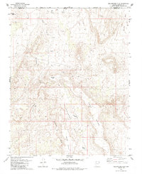
1979 Map of Yellowhorse Flat
USGS Topo · Published 1985About this map
The Arizona and Utah borderlands south of St. George are defined here by a high desert landscape of mesas and drainage systems. Centered on the sprawling Yellowhorse Flat, the area is flanked by the prominent East Mesa and West Mesa. Local infrastructure in the late 1970s is minimal, consisting of livestock-related features like The Well and several Water Tanks, alongside remnants of human activity such as a Prospect and a Gravel Pit. Notable landmarks include Joe Blake Hill and the elevated terrain of Little Black Mtn. The transport network relies on historical routes like the Sunshine Trail and Pack Trail, which navigate through rugged washes including Dutchman Draw and Fort Pearce Wash. This map documents a period when the Mohave County backcountry remained primarily used for ranching and small-scale resource extraction.
Find a feature on this map
18 named features on this map. Tap any name to fly to it.
Don’t see what you’re looking for? This feature index may not catch every label — zoom into the map to look around manually.
Map Details
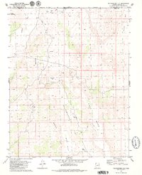
Editions of this 1979 Yellowhorse Flat Map
2 editions found
Other maps of this area

1885 · St. George
USGS Topo · 1:250,000

1886 · Mt. Trumbull
USGS Topo · 1:250,000

1891 · St. George
USGS Topo · 1:250,000

1892 · Mt. Trumbull
USGS Topo · 1:250,000

1953 · Cedar City
USGS Topo · 1:250,000

1953 · Grand Canyon
USGS Topo · 1:250,000

1954 · Hurricane Cliffs 2 NW
USGS Topo · 1:24,000

1954 · Hurricane Cliffs 2 NE
USGS Topo · 1:24,000

1954 · La Verkin 3 SE
USGS Topo · 1:24,000

1954 · La Verkin 3 SW
USGS Topo · 1:24,000