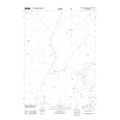
2012 Map of Yellowjacket Mountain
USGS Topo · Published 2012About this map
McCloud River and Squaw Valley Cr dominate this northern California landscape, which is marked by a network of forest roads and named clearings. In the early 21st century, the area shows a distinct pattern of land use characterized by small, named flats and bends, such as Peterson Flat, Garret Flat, and Hamilton Bend. These locations, alongside oddly named points like Mule Shoe and Two Pine, likely serve as essential markers for navigation in the dense timberland of the Shasta-Trinity region.
Find a feature on this map
38 named features on this map. Tap any name to fly to it.
Don’t see what you’re looking for? This feature index may not catch every label — zoom into the map to look around manually.
Map Details
Editions of this 2012 Yellowjacket Mountain Map
This is the sole edition of this map. No revisions or reprints were ever made.
Other maps of this area

1886 · Shasta
USGS Topo · 1:250,000

1890 · Red Bluff
USGS Topo · 1:250,000

1894 · Red Bluff
USGS Topo · 1:250,000

1894 · Shasta
USGS Topo · 1:250,000

1901 · Redding
USGS Topo · 1:125,000

1935 · Dunsmuir
USGS Topo · 1:125,000

1946 · Lamoine
USGS Topo · 1:62,500

1948 · Weed
USGS Topo · 1:250,000

1949 · Bollibokka Mtn
USGS Topo · 1:62,500

1950 · Weed
USGS Topo · 1:250,000