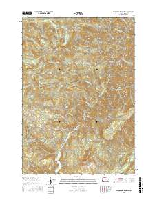
2017 Map of Yellowstone Mountain
USGS Topo · Published 2017About this map
Yellowstone Mountain and the high ridges of the Cascades dominate this portion of Linn County, where deep drainages feed into the northern reaches of Green Peter Lake. The landscape is defined by its water system, with Quartzville Creek and Crabtree Cr carving through steep elevations. Natural features like Panther Falls and Cascade Falls highlight the rapid descent of the local creeks, while peaks such as Harry Mtn and Crabtree Mtn provide the primary landmarks for this timber-rich region.
Find a feature on this map
32 named features on this map. Tap any name to fly to it.
Don’t see what you’re looking for? This feature index may not catch every label — zoom into the map to look around manually.
Map Details
Editions of this 2017 Yellowstone Mountain Map
This is the sole edition of this map. No revisions or reprints were ever made.
Other maps of this area

1929 · Mill City
USGS Topo · 1:125,000

1934 · Mc Kenzie Bridge
USGS Topo · 1:96,000

1940 · Mc Kenzie Bridge
USGS Topo · 1:125,000

1951 · Sweet Home
USGS Topo · 1:62,500

1951 · Snow Peak
USGS Topo · 1:62,500

1953 · Salem
USGS Topo · 1:250,000

1954 · Salem
USGS Topo · 1:250,000

1955 · Cascadia
USGS Topo · 1:62,500

1956 · Quartzville
USGS Topo · 1:62,500

1960 · Salem
USGS Topo · 1:250,000