
1918 Map of Yemassee
USGS Topo · Published 1918About this map
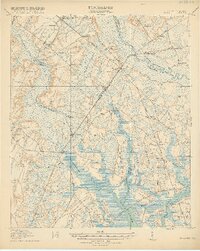
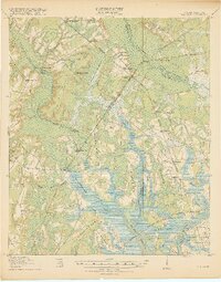
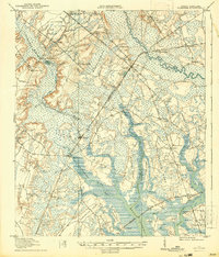
Yemassee serves as the central hub of this South Carolina Lowcountry landscape, where the Atlantic Coast Line and Charleston & Western Carolina railroads intersect. The 1918 survey documents a region defined by its complex tidal waterways and agricultural necks, including Grahams Neck and Huguenins Neck. The coastal economy is visible through the Buckner and McPherson Logging R R and various other logging lines that penetrate the wetlands near Gilmania.
Find a feature on this map
73 named features on this map. Tap any name to fly to it.
Don’t see what you’re looking for? This feature index may not catch every label — zoom into the map to look around manually.
Map Details
Editions of this 1918 Yemassee Map
4 editions found
Other maps of this area

1918 · Walterboro
USGS Topo · 1:62,500

1918 · Green Pond
USGS Topo · 1:62,500

1918 · Varnville
USGS Topo · 1:62,500

1919 · Pineland
USGS Topo · 1:62,500

1919 · Cummings
USGS Topo · 1:62,500

1920 · Hardeeville
USGS Topo · 1:62,500

1920 · Okatie
USGS Topo · 1:62,500

1942 · Okatie
USGS Topo · 1:62,500

1943 · Pineland
USGS Topo · 1:62,500

1943 · Hardeeville
USGS Topo · 1:62,500