
1943 Map of Yemassee
USGS Topo · Published 1943About this map
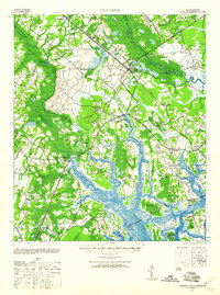
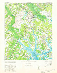
Yemassee serves as the focal point for this Lowcountry landscape, where the intersections of the Atlantic Coast Line, Seaboard Air Line, and Charleston and Western Carolina railroads define the local economy. The terrain is deeply influenced by the tidal systems of the Coosaw Hatchie River and the Broad River, which give way to expansive reaches of salt marsh and numerous islands such as Brays Island and Barnwell Island.
Find a feature on this map
69 named features on this map. Tap any name to fly to it.
Don’t see what you’re looking for? This feature index may not catch every label — zoom into the map to look around manually.
Map Details
Editions of this 1943 Yemassee Map
3 editions found
Other maps of this area

1918 · Walterboro
USGS Topo · 1:62,500

1918 · Green Pond
USGS Topo · 1:62,500

1918 · Varnville
USGS Topo · 1:62,500

1918 · Yemassee
USGS Topo · 1:62,500

1919 · Pineland
USGS Topo · 1:62,500

1919 · Cummings
USGS Topo · 1:62,500

1920 · Hardeeville
USGS Topo · 1:62,500

1920 · Okatie
USGS Topo · 1:62,500

1942 · Okatie
USGS Topo · 1:62,500

1943 · Pineland
USGS Topo · 1:62,500