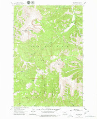
1961 Map of Yogo Peak
USGS Topo · Published 1980About this map
Yogo Peak serves as a prominent landmark in this high-elevation terrain within the Lewis and Clark National Forest, where a lookout station stood at 8,801 feet. The landscape is defined by the steep drainage systems of Dry Wolf Creek and Yogo Creek, carving through a series of significant summits including Big Baldy Mountain and Cabin Mountain. The presence of numerous gulches like Lyons Gulch, Iron Gulch, and Silver Gulch suggests a history of mineral exploration in these mountains, further evidenced by the naming of Prospect Ridge and Lead Gulch. High alpine water bodies, notably Twin Lakes, Rhoda Lake, and Lake Elva, are tucked into the upper basins. Transportation across this portion of Judith Basin County was limited to an network of a Jeep Trail and several Pack Trails, emphasizing the area's role as a backcountry resource area during the mid-twentieth century.
Find a feature on this map
33 named features on this map. Tap any name to fly to it.
Don’t see what you’re looking for? This feature index may not catch every label — zoom into the map to look around manually.
Map Details
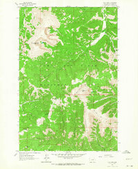
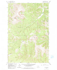
Editions of this 1961 Yogo Peak Map
3 editions found
Other maps of this area

1886 · Little Belt Mts.
USGS Topo · 1:250,000

1890 · Fort Benton
USGS Topo · 1:250,000

1892 · Fort Benton
USGS Topo · 1:250,000

1894 · Little Belt Mts.
USGS Topo · 1:250,000

1897 · Fort Benton
USGS Topo · 1:250,000

1897 · Little Belt Mts.
USGS Topo · 1:250,000

1898 · Little Belt Mts.
USGS Topo · 1:250,000

1902 · Little Belt Mts.
USGS Topo · 1:250,000

1948 · White Sulphur Springs
USGS Topo · 1:250,000

1954 · Great Falls
USGS Topo · 1:250,000