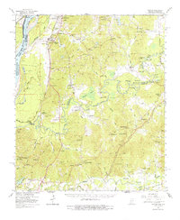
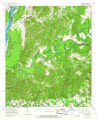
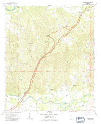
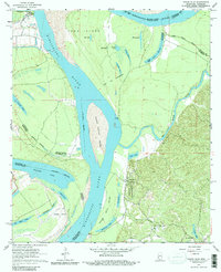
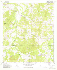
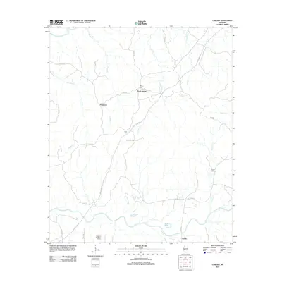
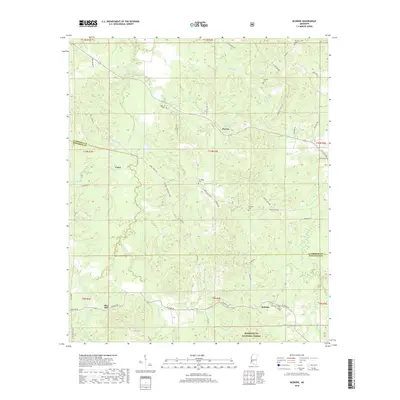
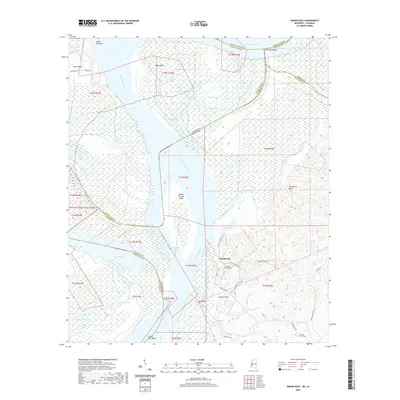
1966 Map of Yokena
USGS Topo · Published 1977About this map
Rocky Springs and the surrounding riverlands of the Big Black River and Pierre Bayou define this mid-1960s landscape south of Vicksburg. The map illustrates a complex network of rural community hubs, including Yokena, Hankinson, and Ingleside, anchored by numerous country churches such as Campbell Chapel and Mt Zion Ch. The Natchez Trace Parkway winds through the eastern portion of the sheet, tracing an ancient corridor through a terrain marked by deep bayous and sand creeks.
Find a feature on this map
104 named features on this map. Tap any name to fly to it.
Don’t see what you’re looking for? This feature index may not catch every label — zoom into the map to look around manually.
Map Details
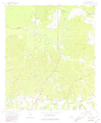
Editions of this 1966 Yokena Map
2 editions found
Historical Maps of Vicksburg Through Time
32 maps found
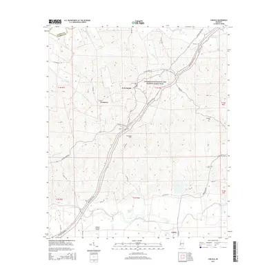
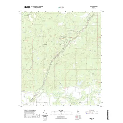
1963 Carlisle
Claiborne County, MS
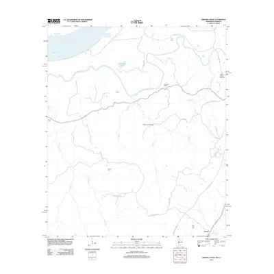
1963 Grand Gulf
Claiborne County, MS
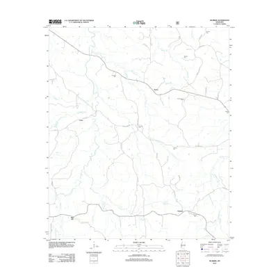
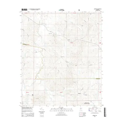
1963 McBride
Claiborne County, MS
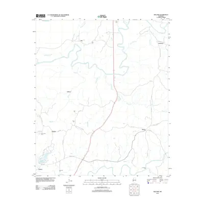
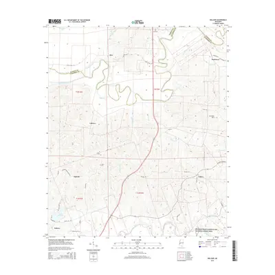
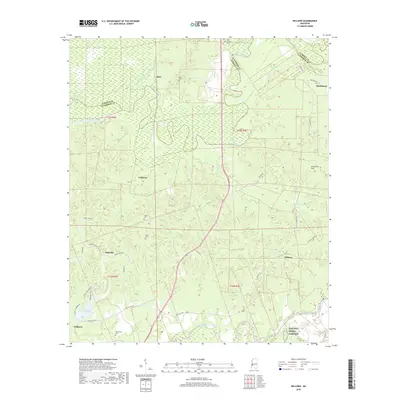
1963 Willows
Claiborne County, MS
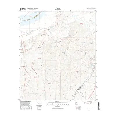
1966 Yokena
Claiborne County, MS
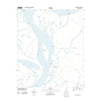
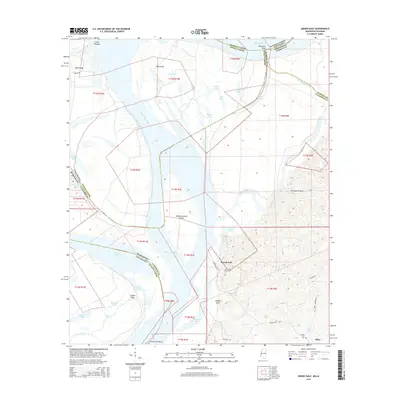
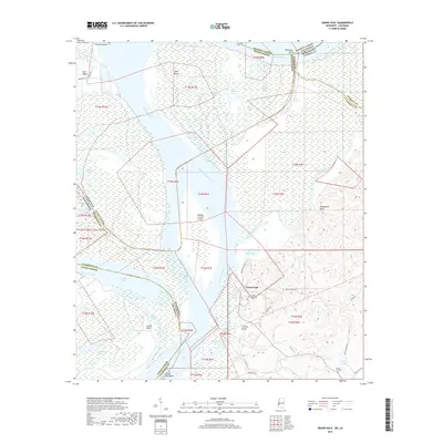
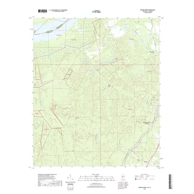
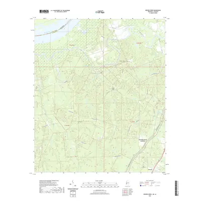
1986 Widows Creek
Claiborne County, MS
2000 McBride
Claiborne County, MS
2012 Carlisle
Claiborne County, MS
2012 Grand Gulf
Claiborne County, MS
2012 McBride
Claiborne County, MS
2012 Widows Creek
Claiborne County, MS
2012 Willows
Claiborne County, MS
2015 Carlisle
Claiborne County, MS
2015 Grand Gulf
Claiborne County, MS
2015 McBride
Claiborne County, MS
2015 Widows Creek
Claiborne County, MS
2015 Willows
Claiborne County, MS
2018 Carlisle
Claiborne County, MS
2018 Grand Gulf
Claiborne County, MS
2018 McBride
Claiborne County, MS
2018 Widows Creek
Claiborne County, MS
2018 Willows
Claiborne County, MS
2020 Carlisle
Claiborne County, MS
2020 Grand Gulf
Claiborne County, MS
2020 Widows Creek
Claiborne County, MS
2020 Willows
Claiborne County, MS
2021 McBride
Claiborne County, MS
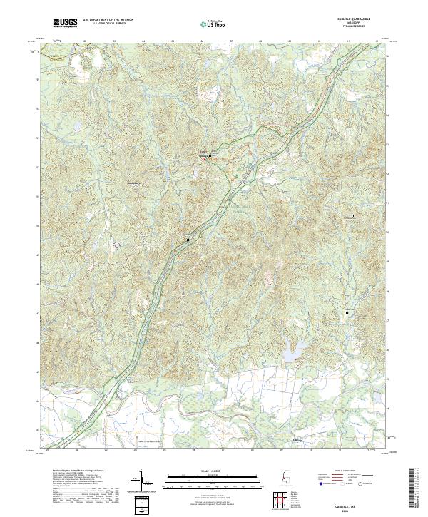
2024 Carlisle
Claiborne County, MS
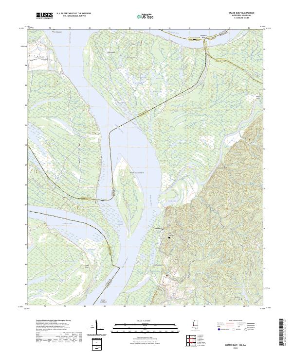
2024 Grand Gulf
Claiborne County, MS
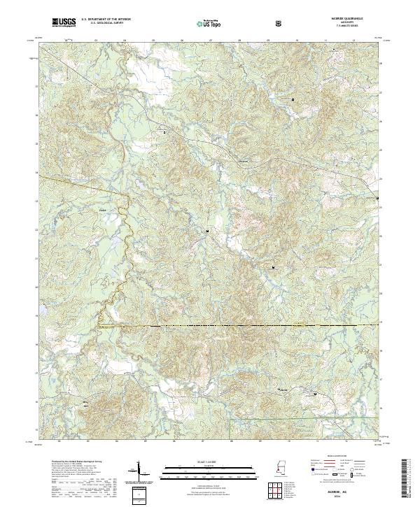
2024 McBride
Claiborne County, MS
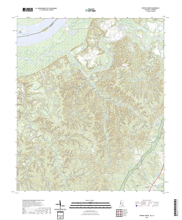
2024 Widows Creek
Claiborne County, MS
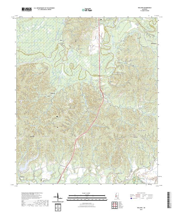
2024 Willows
Claiborne County, MS