
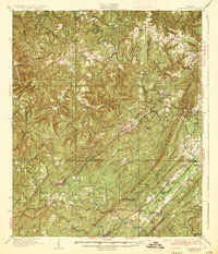
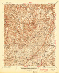
1935 Map of Yolande
USGS Topo · Published 1935About this map
Yolande and the surrounding mining settlements define this industrial landscape along the border of Jefferson Co and Tuscaloosa Co. In the mid-1930s, the region was a dense network of coal-related infrastructure and small company towns connected by the Louisville and Nashville and Birmingham Southern railroads. The map captures the extraction economy at its peak, evidenced by the Gilmore Mines and the rail junction at Connellsville Junc.
Find a feature on this map
98 named features on this map. Tap any name to fly to it.
Don’t see what you’re looking for? This feature index may not catch every label — zoom into the map to look around manually.
Map Details
Editions of this 1935 Yolande Map
3 editions found
Other maps of this area

1889 · Birmingham
USGS Topo · 1:125,000

1890 · Bessemer
USGS Topo · 1:125,000

1892 · Birmingham
USGS Topo · 1:125,000

1892 · Bessemer
USGS Topo · 1:125,000

1893 · Jasper
USGS Topo · 1:125,000

1895 · Birmingham
USGS Topo · 1:125,000

1899 · Brookwood
USGS Topo · 1:125,000

1904 · Birmingham Coal District
USGS Topo · 1:62,500

1905 · Bessemer Iron District
USGS Topo · 1:62,500

1906 · Birmingham Special
USGS Topo · 1:62,500