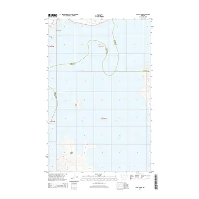
2014 Map of York Island
USGS Topo · Published 2014About this map
Fort Peck Lake dominates this 2014 survey, where the waters of the Missouri River reservoir meet the intersecting boundaries of Valley, Garfield, and McCone counties. The landscape is defined by its dramatic shoreline, punctuated by prominent landforms such as Markles Point in the northwest and Haxby Point to the southwest. At the center of the lake sits York Island, a distinct topographic feature surrounded by the expansive reach of the reservoir. Terrestrial access is limited to the northern margins, where MT-24 and Poverty Ridge Rd navigate the high ground above the water level. The map reveals the intricate contouring of the submerged river valley and the remaining ridges that now serve as peninsulas and islands within this massive hydrological project.
Find a feature on this map
14 named features on this map. Tap any name to fly to it.
Don’t see what you’re looking for? This feature index may not catch every label — zoom into the map to look around manually.
Map Details
Editions of this 2014 York Island Map
This is the sole edition of this map. No revisions or reprints were ever made.
Other maps of this area

1914 · Nashua
USGS Topo · 1:62,500

1916 · Nashua
USGS Topo · 1:62,500

1943 · Glasgow
USGS Topo · 1:125,000

1954 · Jordan
USGS Topo · 1:250,000

1954 · Glasgow
USGS Topo · 1:250,000

1956 · Jordan
USGS Topo · 1:250,000

1957 · Glasgow
USGS Topo · 1:250,000

1958 · Glasgow
USGS Topo · 1:250,000

1958 · Jordan
USGS Topo · 1:250,000

1958 · Sage Creek Point
USGS Topo · 1:24,000