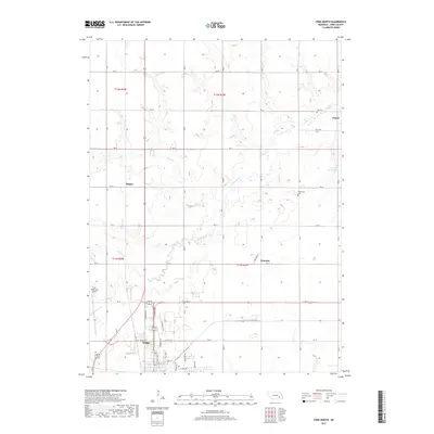
2017 Map of York North
USGS Topo · Published 2017About this map
York anchor this portion of the Nebraska plains, where the grid of sections meets the meandering course of Lincoln Cr. The landscape is defined by its agricultural layout, marked by small named crossroads and rail stops that illustrate the early twentieth-century settlement patterns of York County. Smaller communities like Thayer, Houston, and Mapps serve as waypoints across the township lines. Genealogists can locate family sites near Zion Cem and Rosemond Cem, while the inclusion of the York Municipal Airport at the western edge of town shows the modern evolution of the area's transportation infrastructure. Local hydrology is represented by smaller tributaries including Coon Br and the engineered waters of Wessels Reservoir to the northeast.
Find a feature on this map
27 named features on this map. Tap any name to fly to it.
Don’t see what you’re looking for? This feature index may not catch every label — zoom into the map to look around manually.
Map Details
Editions of this 2017 York North Map
This is the sole edition of this map. No revisions or reprints were ever made.
Other maps of this area

1896 · Stromsburg
USGS Topo · 1:125,000

1898 · York
USGS Topo · 1:125,000

1899 · David City
USGS Topo · 1:125,000

1899 · York
USGS Topo · 1:125,000

1934 · Utica
USGS Topo · 1:62,500

1937 · Utica
USGS Topo · 1:62,500

1955 · Fremont
USGS Topo · 1:250,000

1955 · Lincoln
USGS Topo · 1:250,000

1957 · Fremont
USGS Topo · 1:250,000

1957 · Lincoln
USGS Topo · 1:250,000