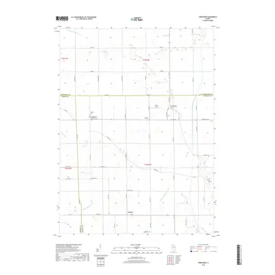
2018 Map of Yorktown
USGS Topo · Published 2018About this map
Agricultural patterns and an intricate network of drainage systems define this portion of Whiteside, Bureau, and Henry Counties. Small rural hubs such as Yorktown and Love are connected by a grid of county roads, including Yorktown Rd and Co Rd 34, which weave between expansive farm tracts. The landscape is heavily modified for irrigation and runoff, featuring engineered waterways like Fairfield Ditch Number 1, the Fairfield Union Special Ditch, and Wildcat Ditch.
Find a feature on this map
58 named features on this map. Tap any name to fly to it.
Don’t see what you’re looking for? This feature index may not catch every label — zoom into the map to look around manually.
Map Details
Editions of this 2018 Yorktown Map
This is the sole edition of this map. No revisions or reprints were ever made.
Other maps of this area

1921 · Buda
USGS Topo · 1:62,500

1923 · Buda
USGS Topo · 1:62,500

1929 · Annawan
USGS Topo · 1:62,500

1932 · Prophetstown
USGS Topo · 1:48,000

1932 · Annawan
USGS Topo · 1:62,500

1936 · Prophetstown
USGS Topo · 1:62,500

1949 · Walnut
USGS Topo · 1:62,500

1958 · Aurora
USGS Topo · 1:250,000

1961 · Aurora
USGS Topo · 1:250,000
1982 · New Bedford
USGS Topo · 1:24,000