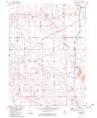
1982 Map of Yorktown
USGS Topo · Published 1982About this map
The Old Indian Treaty Boundary cuts a diagonal path across this section of Bureau County, marking a historic line of demarcation in the northern Illinois prairie. This 1982 record of the area highlights the intersection of Fairfield and Yorktown townships, where small clusters like Yorktown and Thomas anchor the agricultural landscape. The eastern edge of the quadrangle is defined by the Hennepin Canal State Parkway and its associated Feeder, a critical piece of 19th-century water engineering preserved for modern recreational use.
Find a feature on this map
31 named features on this map. Tap any name to fly to it.
Don’t see what you’re looking for? This feature index may not catch every label — zoom into the map to look around manually.
Map Details
Editions of this 1982 Yorktown Map
This is the sole edition of this map. No revisions or reprints were ever made.
Other maps of this area

1921 · Buda
USGS Topo · 1:62,500

1923 · Buda
USGS Topo · 1:62,500

1929 · Annawan
USGS Topo · 1:62,500

1932 · Prophetstown
USGS Topo · 1:48,000

1932 · Annawan
USGS Topo · 1:62,500

1936 · Prophetstown
USGS Topo · 1:62,500

1949 · Walnut
USGS Topo · 1:62,500

1958 · Aurora
USGS Topo · 1:250,000

1961 · Aurora
USGS Topo · 1:250,000
1982 · New Bedford
USGS Topo · 1:24,000