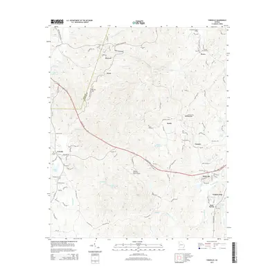
2014 Map of Yorkville
USGS Topo · Published 2014About this map
Pumpkinvine Creek and Raccoon Creek carve a complex network of ridges and hollows across this portion of the Piedmont, where the Polk and Paulding county line divides the landscape. The western edge is defined by the elevation of Brushy Mountain and Yorkville Pass, while the eastern portion shows the expansion of Dallas and the Paulding Northwest Atlanta Airport. Small, historically significant settlements like Braswell, Divide, and Pumpkin are scattered throughout, often centered around family burial grounds such as Friendship Cemetery and High Shoals Cemetery. The infrastructure of the era is represented by the Rockmart Highway and the Archibald Holland Bridge, which facilitate travel through a terrain once dominated by agricultural land and localized water bodies like Willow Springs Lake and Blair Lake.
Find a feature on this map
111 named features on this map. Tap any name to fly to it.
Don’t see what you’re looking for? This feature index may not catch every label — zoom into the map to look around manually.
Map Details
Editions of this 2014 Yorkville Map
This is the sole edition of this map. No revisions or reprints were ever made.
Other maps of this area

1886 · Rome
USGS Topo · 1:125,000

1889 · Tallapoosa
USGS Topo · 1:125,000

1890 · Cartersville
USGS Topo · 1:125,000

1891 · Marietta
USGS Topo · 1:125,000

1891 · Cartersville
USGS Topo · 1:125,000

1892 · Tallapoosa
USGS Topo · 1:125,000

1895 · Marietta
USGS Topo · 1:125,000

1896 · Cartersville
USGS Topo · 1:125,000

1897 · Marietta
USGS Topo · 1:125,000

1897 · Tallapoosa
USGS Topo · 1:125,000