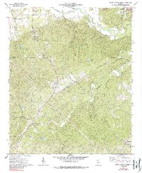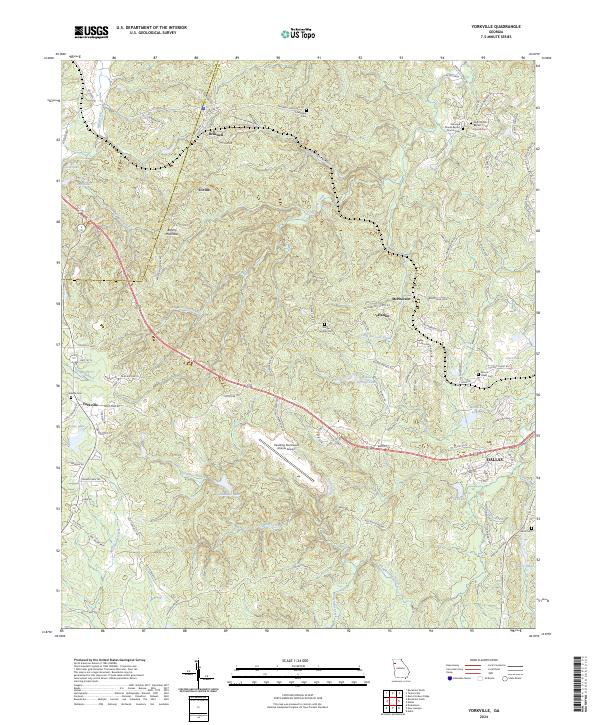
2024 Map of Yorkville
USGS Topo · Published 2024About this map
The hills of Paulding County reveal a rural landscape defined by ridge-running roads and small, historic communities. At Braswell, the terrain rises toward Brushy Mountain, where the border between Polk County and Paulding County follows the high ground. This area is punctuated by traditional landmarks of Georgia's hill country, such as Friendship Cemetery and High Shoals Baptist Church. The layout of the roads, like Braswell Road and Atlanta Highway, indicates how the topography has historically dictated the movement of goods and people across these ridges.
Find a feature on this map
118 named features on this map. Tap any name to fly to it.
Don’t see what you’re looking for? This feature index may not catch every label — zoom into the map to look around manually.
Map Details
Editions of this 2024 Yorkville Map
This is the sole edition of this map. No revisions or reprints were ever made.
Historical Maps of Little Creek Farms Through Time
8 maps found