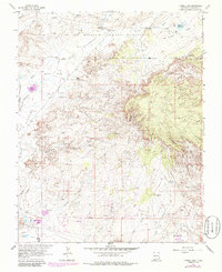
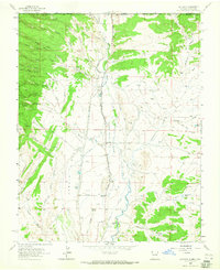
1963 Map of Youngs Lake
USGS Topo · Published 1986About this map
The Ute Mountain Indian Reservation occupies the northern portion of this landscape, where the high terrain of Pinon Mesa meets the intricate drainages of the San Juan Basin. The region’s economic character in the early 1960s is defined by a dense Oil Field and numerous Gas Wells scattered across the desert flats. Significant industrial infrastructure like the Refinery and a network of Pipelines illustrate the intensity of energy extraction during this era.
Find a feature on this map
38 named features on this map. Tap any name to fly to it.
Don’t see what you’re looking for? This feature index may not catch every label — zoom into the map to look around manually.
Map Details
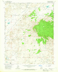
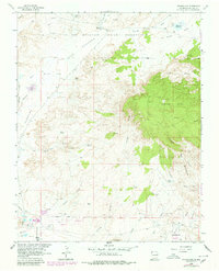
Editions of this 1963 Youngs Lake Map
3 editions found
Other maps of this area

1889 · Chaco
USGS Topo · 1:250,000

1892 · Chaco
USGS Topo · 1:250,000

1927 · Sulphur Spring
USGS Topo · 1:96,000

1928 · Kirtland
USGS Topo · 1:125,000

1932 · Kirtland
USGS Topo · 1:125,000

1954 · Shiprock
USGS Topo · 1:250,000

1958 · Shiprock
USGS Topo · 1:250,000

1959 · Shiprock
USGS Topo · 1:250,000
1963 · Farmington North
USGS Topo · 1:24,000
1963 · La Plata
USGS Topo · 1:24,000